Trinity John Ray Garden
From this webpage - June 2026.
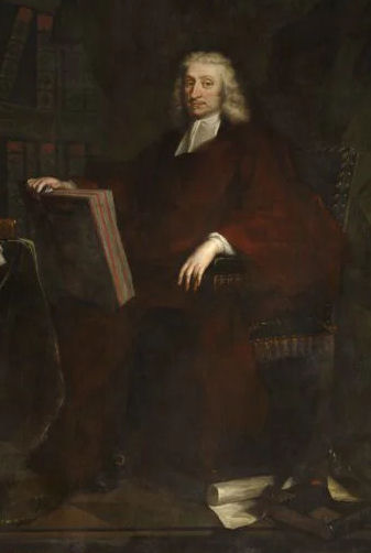
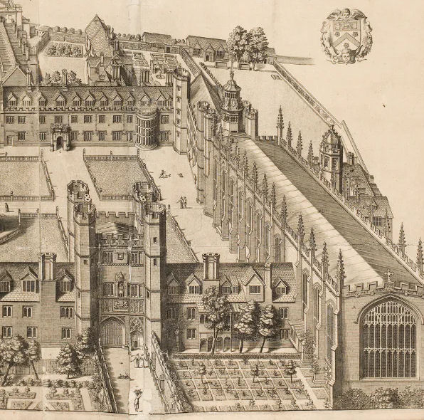
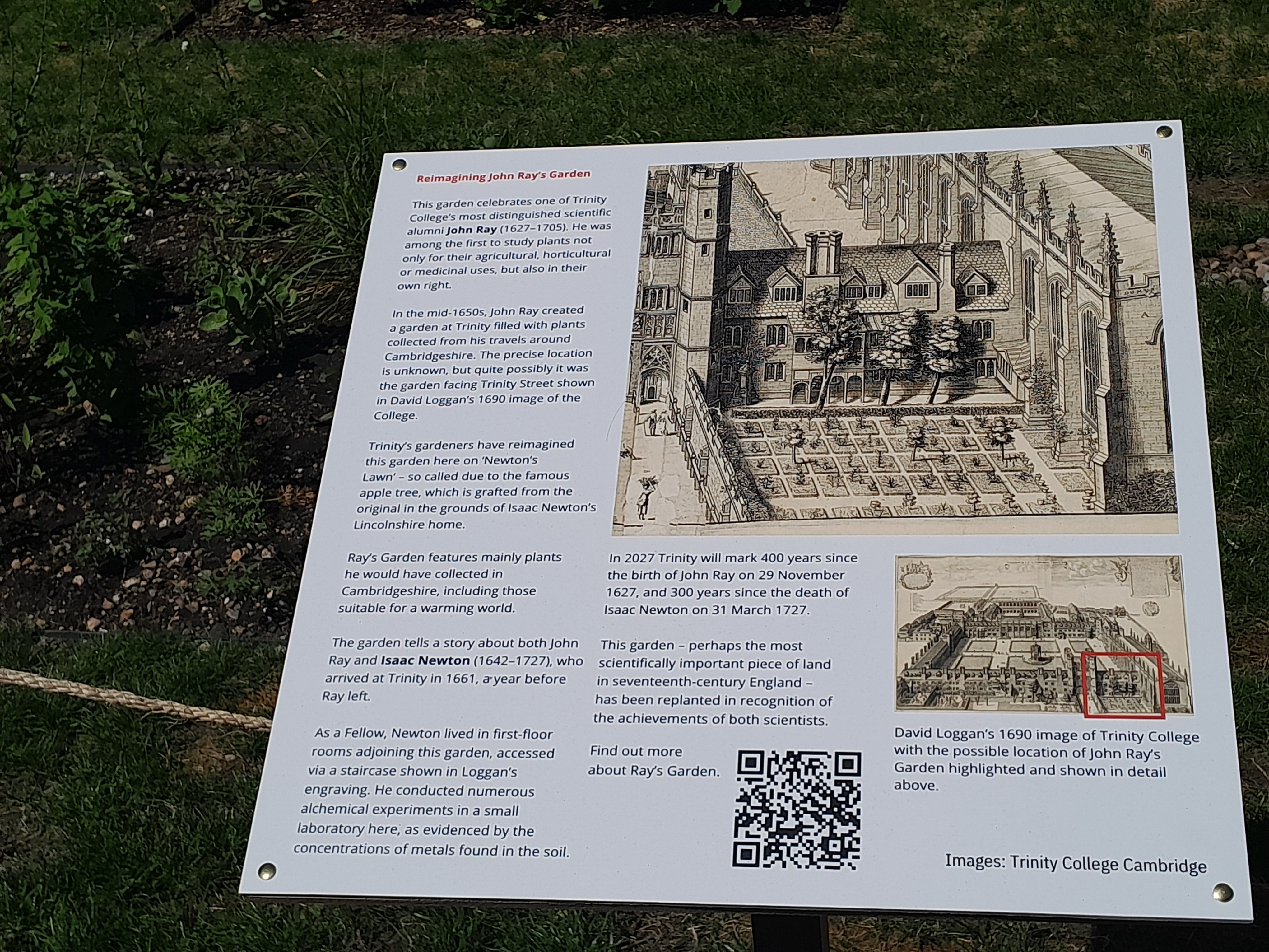
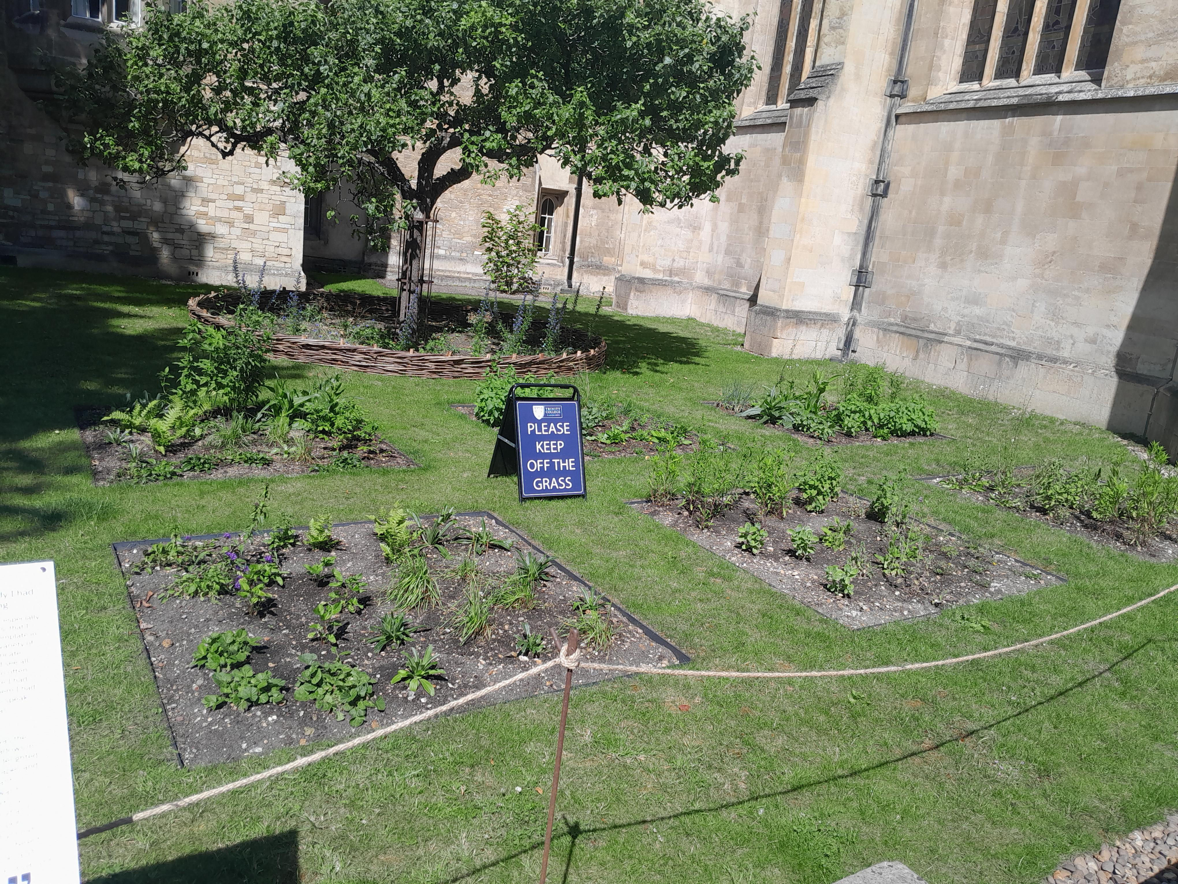
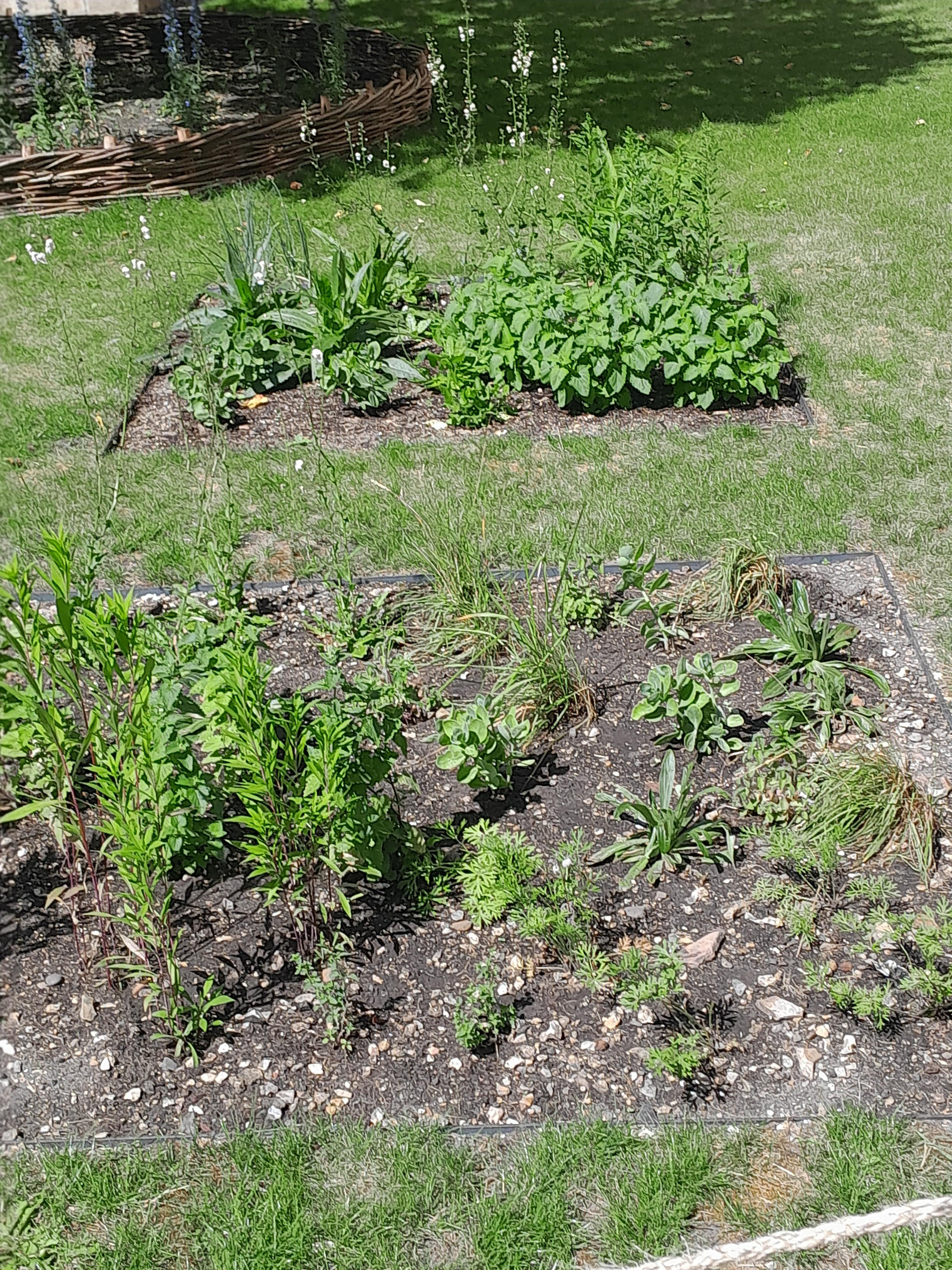
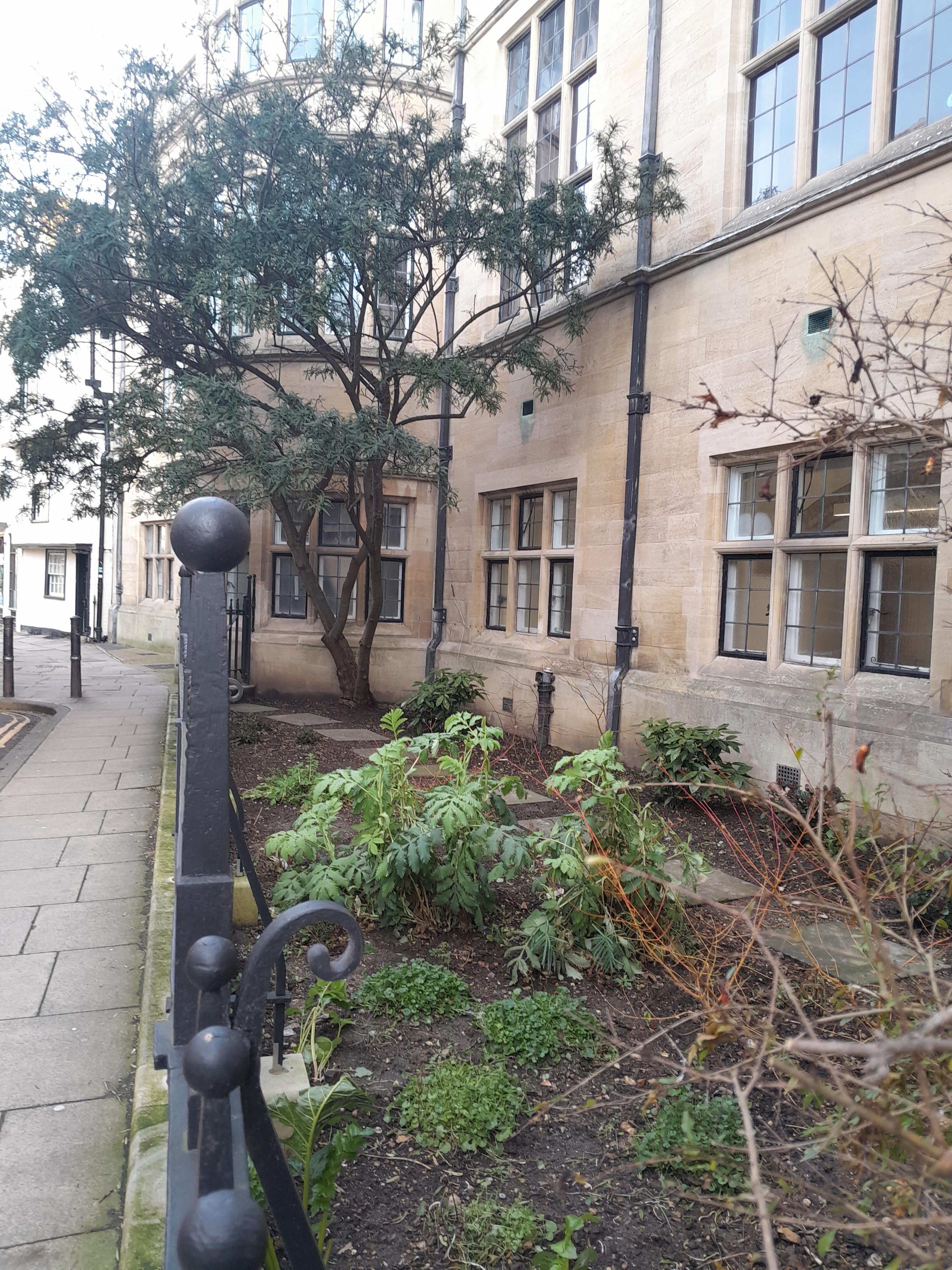
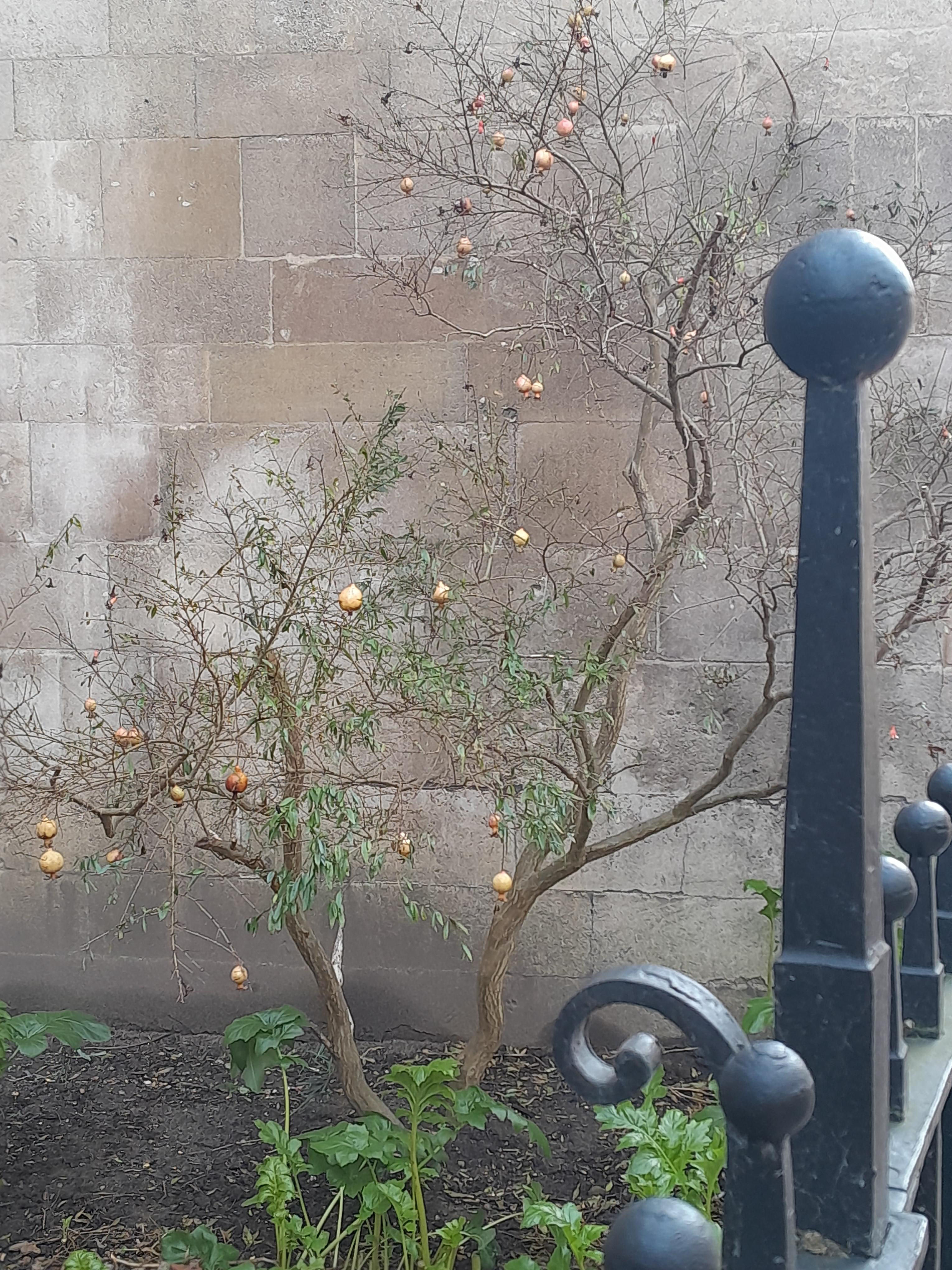
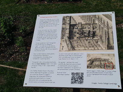
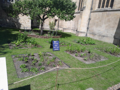
Trinity's gardeners have reimagined the College garden created by alumnus and botanist John Ray (1627-1705) on what was 'perhaps the most scientifically important piece of land in seventeenth-century England.' Hitherto known as 'Newton's Lawn' - due to the apple tree (grafted from the famous original at his Lincolnshire home) - Ray's Garden has been reinvented to mark the 400th anniversary of the botanist's birth on 29 November 2027.
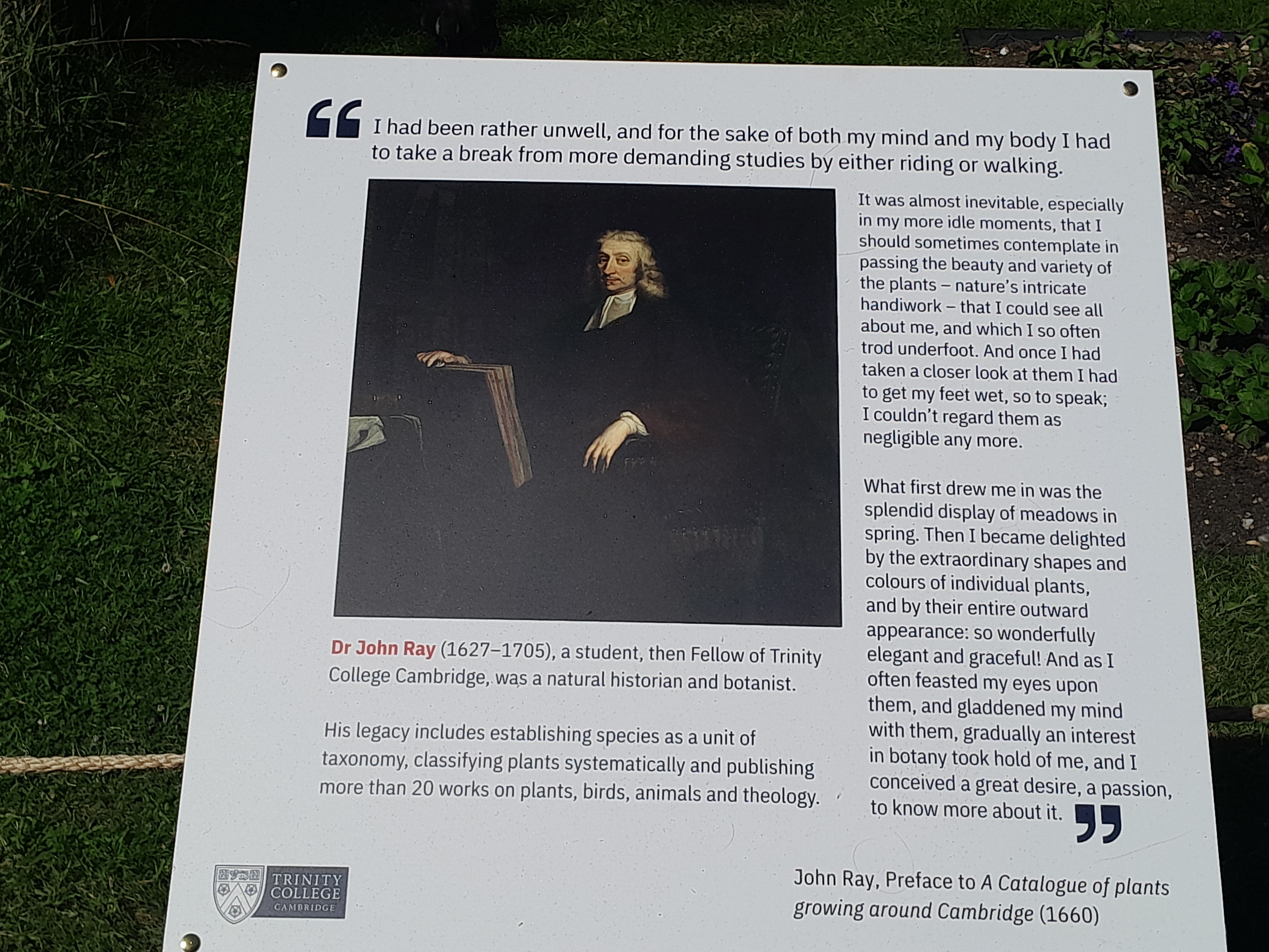
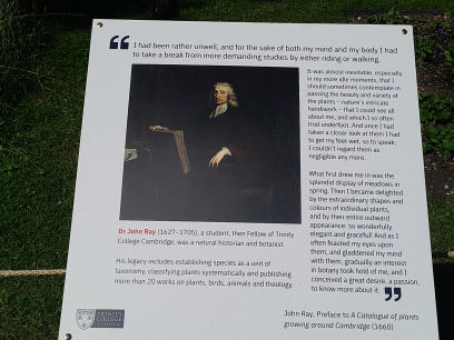
John Ray (1627-1705) was a remarkable botanist whose legacy includes establishing species as a unit of taxonomy, classifying plants systematically and publishing more than 20 works about plants, birds, animals and theology. He created a garden at Trinity in the mid-1650s with plants collected on his travels .through Cambridgeshire.
Trinity Fellow Professor Richard Serjeantson, who teaches history at the College, said the precise location of Ray's garden was unknown but it was quite possibly on the site of the parterre-style garden facing Trinity Street shown in David Loggan's 1690 image of the College (see above). He said "In more recent times this area has become known as 'Newton's Lawn' due to the fact that Newton lived in rooms overlooking Ray's Garden where the apple tree is now planted." In the reimagined garden Trinity's gardeners have planted wildflowers, including those from Cambridgeshire, beneath Newton's tree and woven a hazel fence around it. Trinity's Head Gardener Karen Wells said Ray's correspondence and publications had proved invaluable in reinventing his garden for the twenty-first century. "We selected some of the plants Ray documented planting in his garden at Trinity. We also planted other varieties found in Ray's time in Cambridgeshire that are suitable for the location in terms of light, pollinating insects and the drier and warmer conditions we experience today."
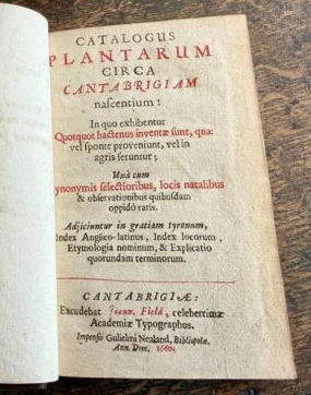
In the preface to A Catalogue of plants growing around Cambridge (1660) Ray wrote "I had been rather unwell, and for the sake of both my mind and my body I had to take a break from more demanding studies by either riding or walking. It was almost inevitable, especially in my more idle moments, that I should sometimes contemplate in passing the beauty and variety of the plants - nature's intricate handiwork - that I could see all about me, and which I so often trod underfoot. And once I had taken a closer look at them I had to get my feet wet, so to speak; I couldn't regard them as negligible any more. What first drew me in was the splendid display of meadows in spring. Then I became delighted by the extraordinary shapes and colours of individual plants, and by their entire outward appearance: so wonderfully elegant and graceful! And as I often feasted my eyes upon them, and gladdened my mind with them, gradually an interest in botany took hold of me, and I conceived a great desire, a passion, to know more about it." Ray certainly went on to do just that - laying the foundations for the systematic classification of plants that would later be developed by Carl Linnaeus.
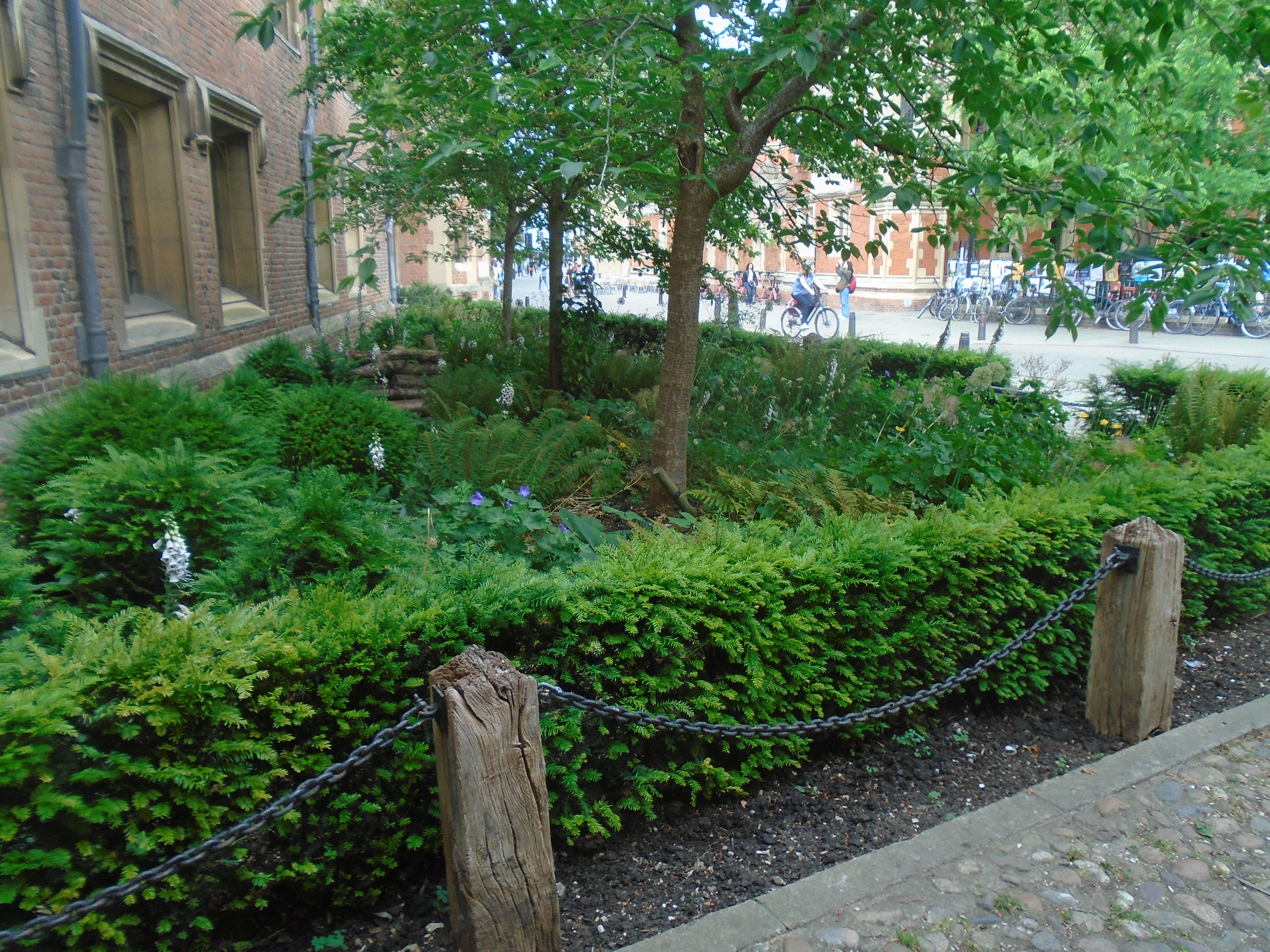
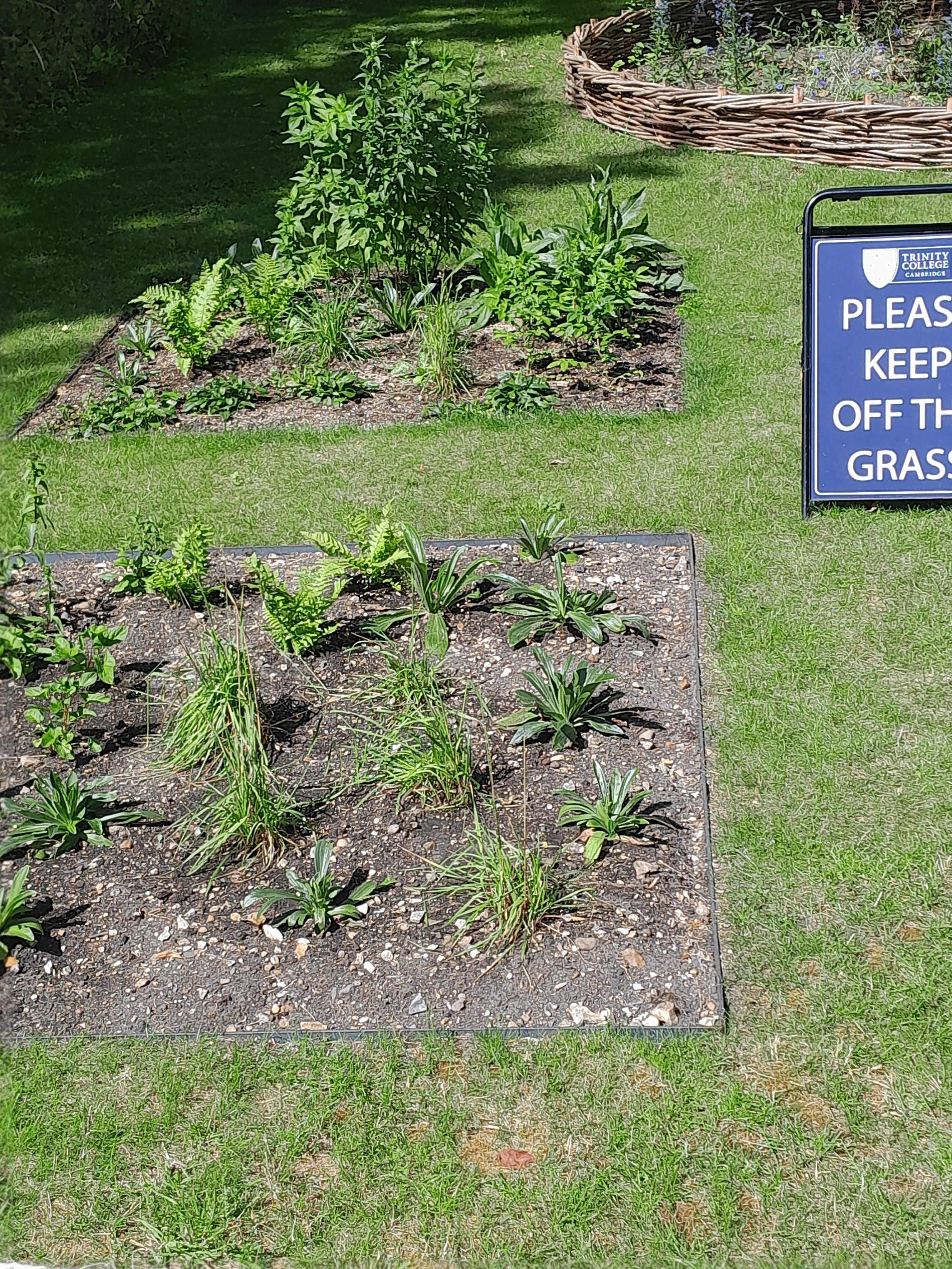
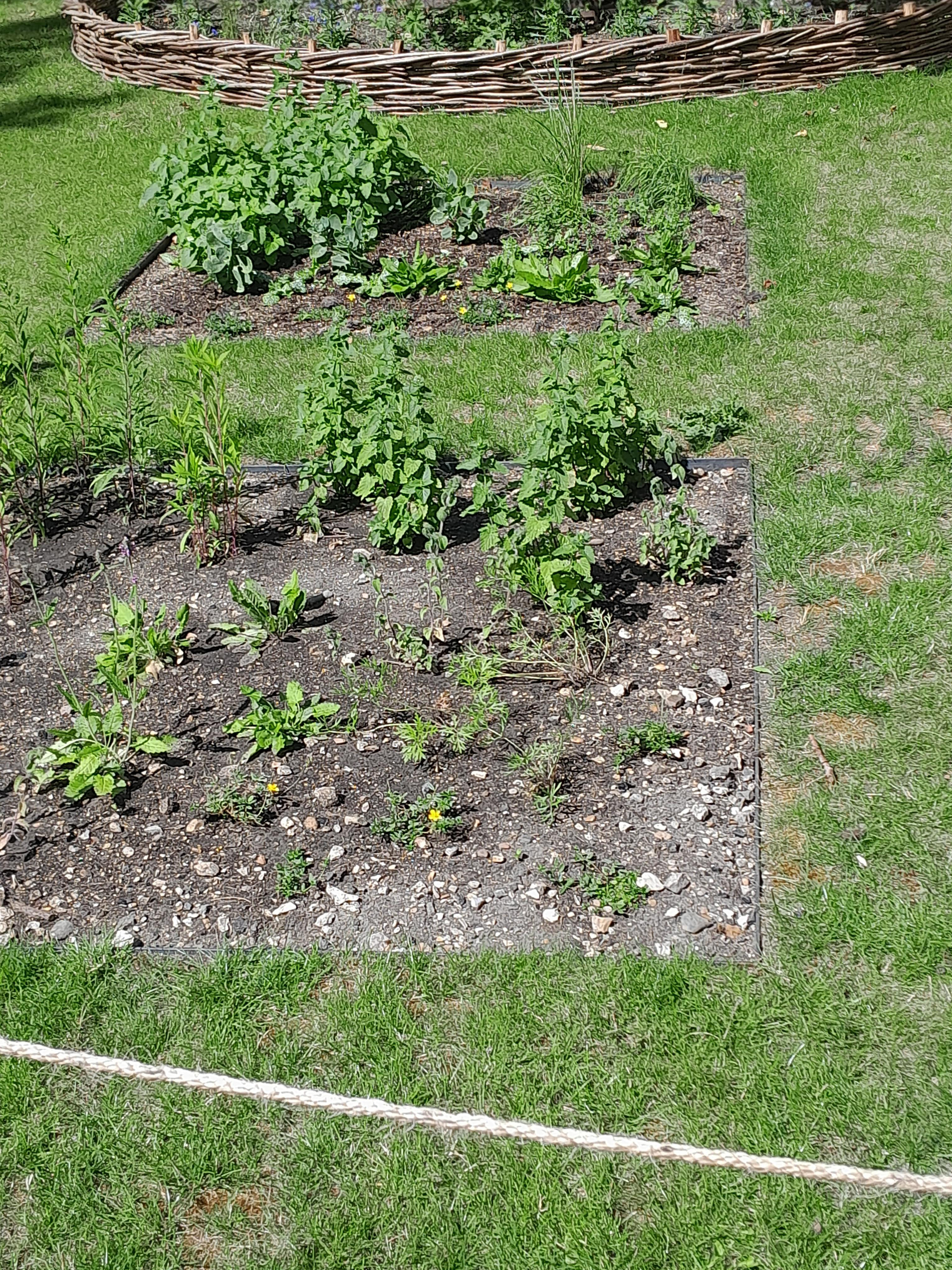
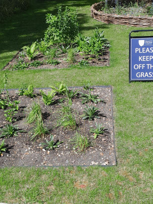
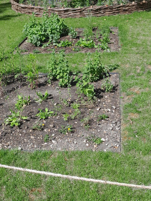
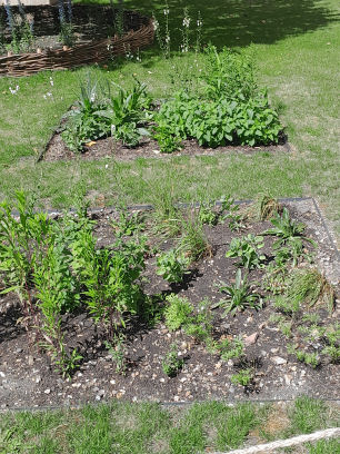
Karen Wells and the gardens team planned the garden by looking at the Loggan engraving of Trinity and reading John Ray's Cambridge Catalogue (1660), translated and edited by PH Oswald and CD Preston, as well as the botanist's later History of Plants. They also considered the correspondence of another Trinity alumnus, Samuel Corbyn, who listed wild and cultivated plants in two letters sent in 1656 and 1657. To prepare the ground at Newton's Lawn, the gardeners relocated the crocuses. They wove a hazel fence around the apple tree to create an understorey of wildflowers. Behind the apple tree is a bed planted with a hazel tree, which will be used to repair the woven fence if and when needed. The flowerbeds echoing Ray's original design were framed in metal for longevity and filled with the gardeners' homemade compost and sand, as well as the original soil. The flowerbeds have various orientations and have been planted accordingly. Ms Wells said: 'I chose plants suitable for the light levels or aspect of the bed, and for sandy soils or loam, plus plants that are drought tolerant. The vast majority of the plants attract pollinators, which we will record over time. At the moment there are 28 species of plants, more will be added.'
Below are the plants in the garden listed by botanical and common names, followed by Ray's comments. These plants were documented by Ray himself or by Corbyn in his letters.
Agrimonia eupatoria - Hemp Agrimony
Ajuga reptans - Bugle
Armoracia rusticana - Horseradish: 'It was found at Magdalen College close, but since has been mostly dug up and carried away.'
Briza media - Common Quaking Grass / Cow Quake / Didder: 'In meadows and pastures.'
Campanula glomerata - Clustered bellflower: 'On Gogmagog hills, Newmarket Heath, Little Shelford churchyard and elsewhere many other places.'
Chenopodium bonus-henricus - Good King Henry: 'The younger shoots of this plant out into boiling water and cooked for a quarter of an hour, then eaten with butter and salt, make a pleasant and health giving dish not unlike ordinary asparagus.'
Clinopodium vulgare - Wild Basil: 'In hedgerows in various localities.'
Corylus avellana - Hazel
Dryopteris filix-mas - Male Fern: 'In Shropshire it is often used when dried instead of hops in the brewing of beer.'
Erysimum cheiri - Common Wallflower: 'Everywhere on walls.'
Eupatorium cannabinum - Hemp Agrimony
Helianthemum nummularium - Common Rockrose: 'All over Gogmagog hills and Newmarket Heath.'
Hylotelephium telephium - Orpine: 'In a lane at Shelford.'
Inula helenium - Elecampane: 'In fields about Madingley in great plenty and at Barton and many other places.'
Origanum vulgare - Wild Oregano
Silybum marianum - Milk Thistle 'Milk thistle or Ladies Thistle' (self-seeded.)
Allium x proliferum - Tree Onion
Astrantia major - Masterwort
Betonica officinalis - Betony: 'We cultivated this, obtained from London, for several years in Cambridge in our little garden.'
Cirsium tuberosum - Tuberous Thistle
Digitalis ferruginea - Rusty Foxglove
Geum x intermedium - Wood Avens: 'This was found in the fields somewhere about the town and brought into our gardens.'
Nepeta cataria - Catmint: 'This mint when transplanted from fields into gardens, we have seen bruised by cats, their whole bodies abandoned to rolling around.'
Pulsatilla vulgaris - Pasque Flower: 'In our experience even in garden-grounds in quite fruitful & rich soil and in a place that is not too sunny it grows successfully.'
Saxifraga x urbium
Seseli libanotis - Moon Carrot
Solidago virgaurea - Goldenrod
Verbascum blattaria f. Albiflorum - white-flowered moth mullein: 'It grows from its fallen seed, as we have experienced sometimes in our little garden in Cambridge.'
Sources:
John Ray's Cambridge Catalogue, 1660, (2012) translated and edited by PH Oswald and CD Preston.
Historia Plantarum (1686, 1688, 1704), J Ray.
'Wild and cultivated plants in Cambridge, 1656-1657: a re-examination of Samuel Corbyn's lists', CD Preston, in HUNTIA 16(2) 2018.
Ray's Flora of Cambridgeshire (1975) translated and edited by AH Ewen and CT Prime.
Jowett's Little Garden
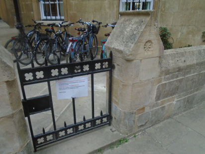
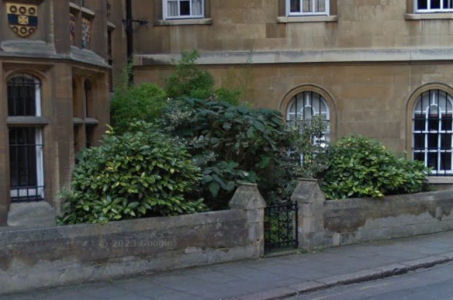
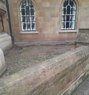

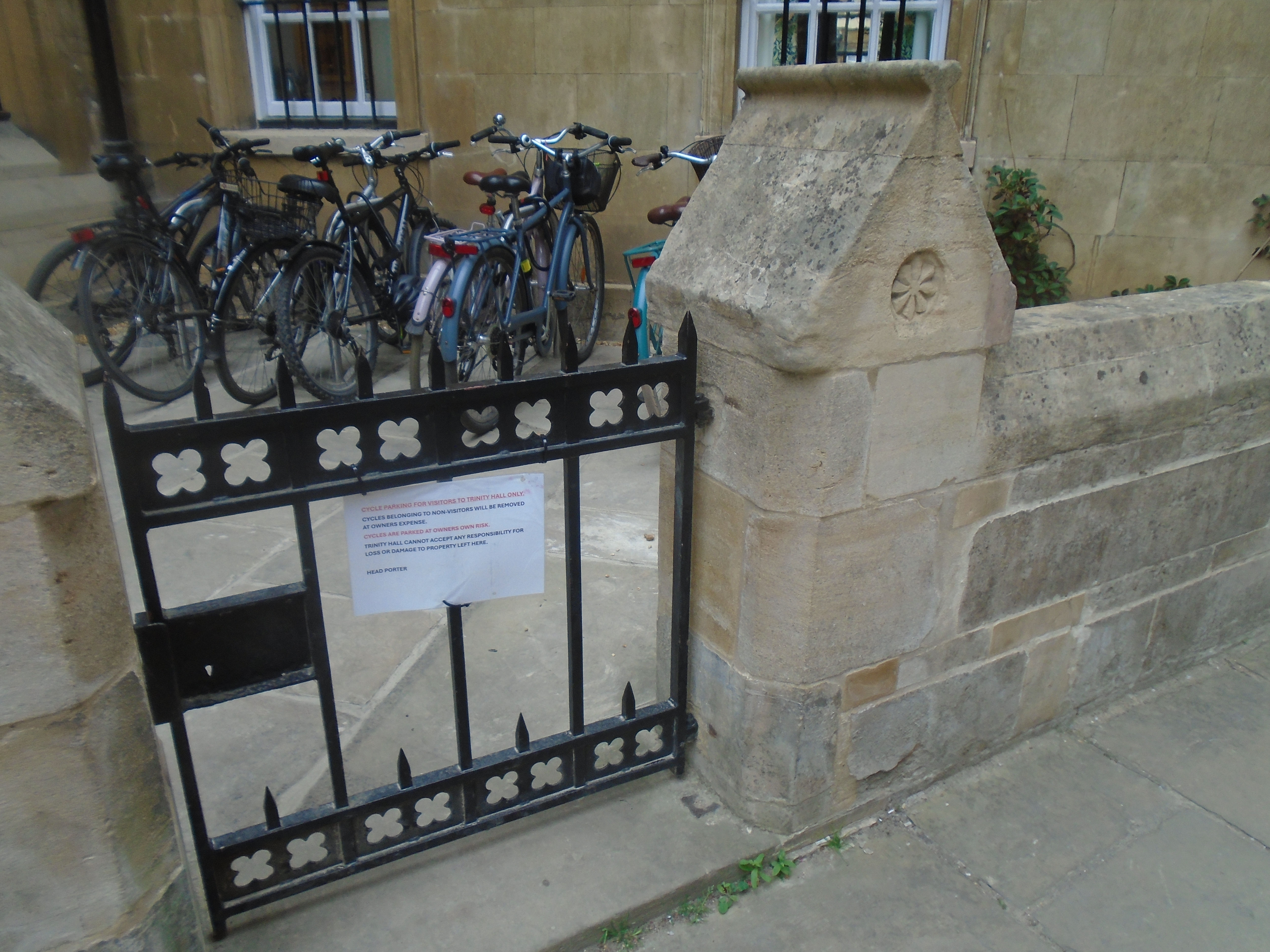
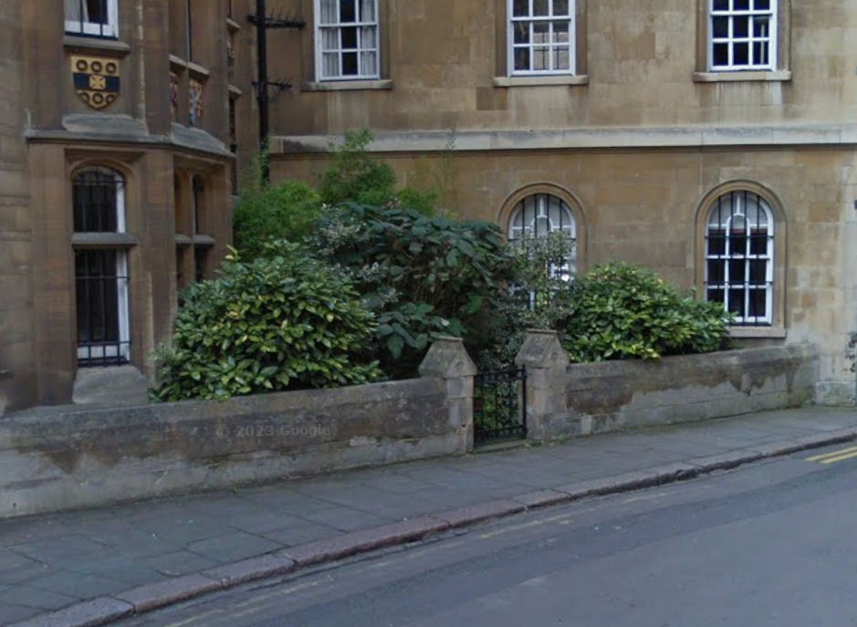
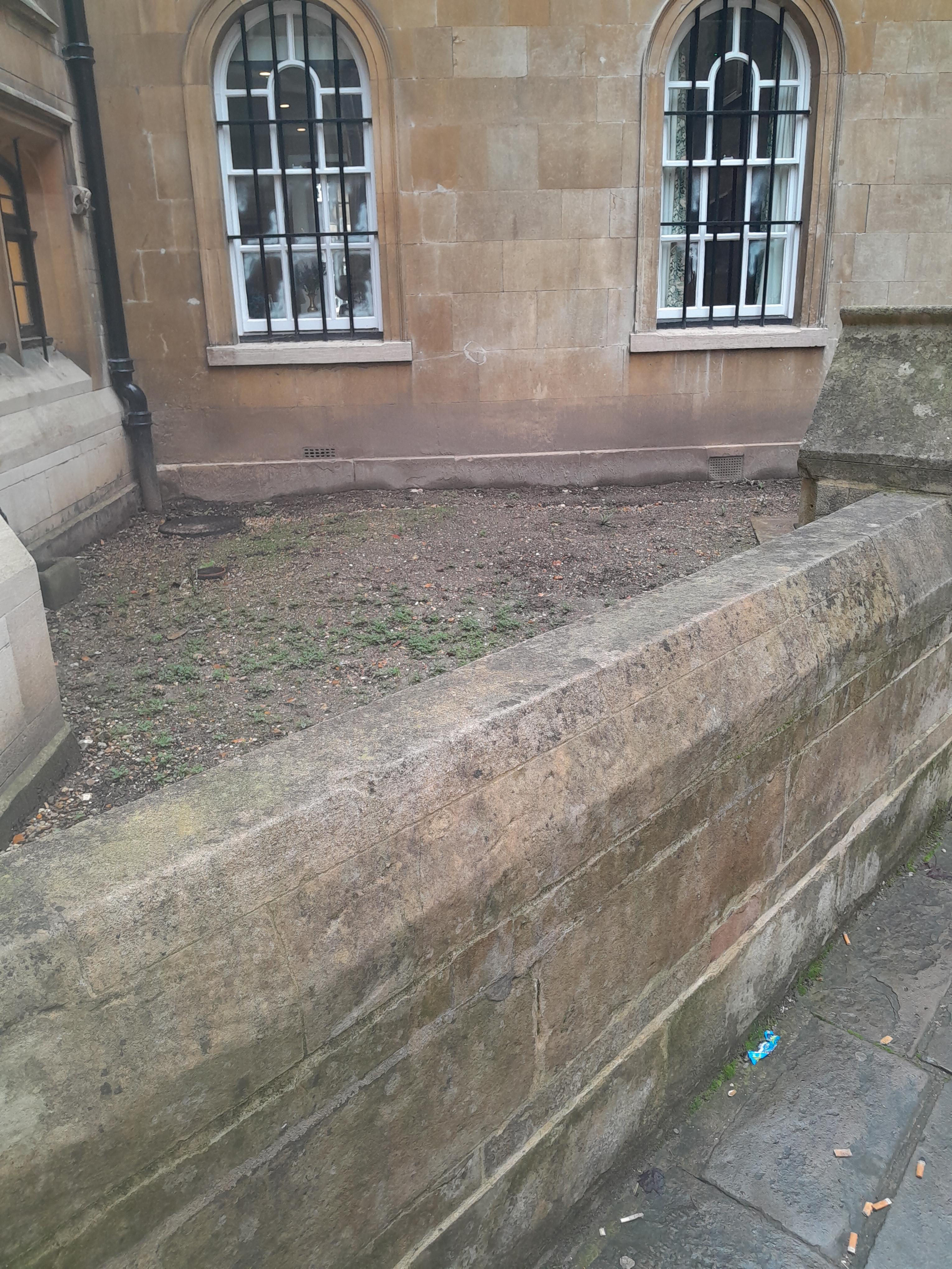
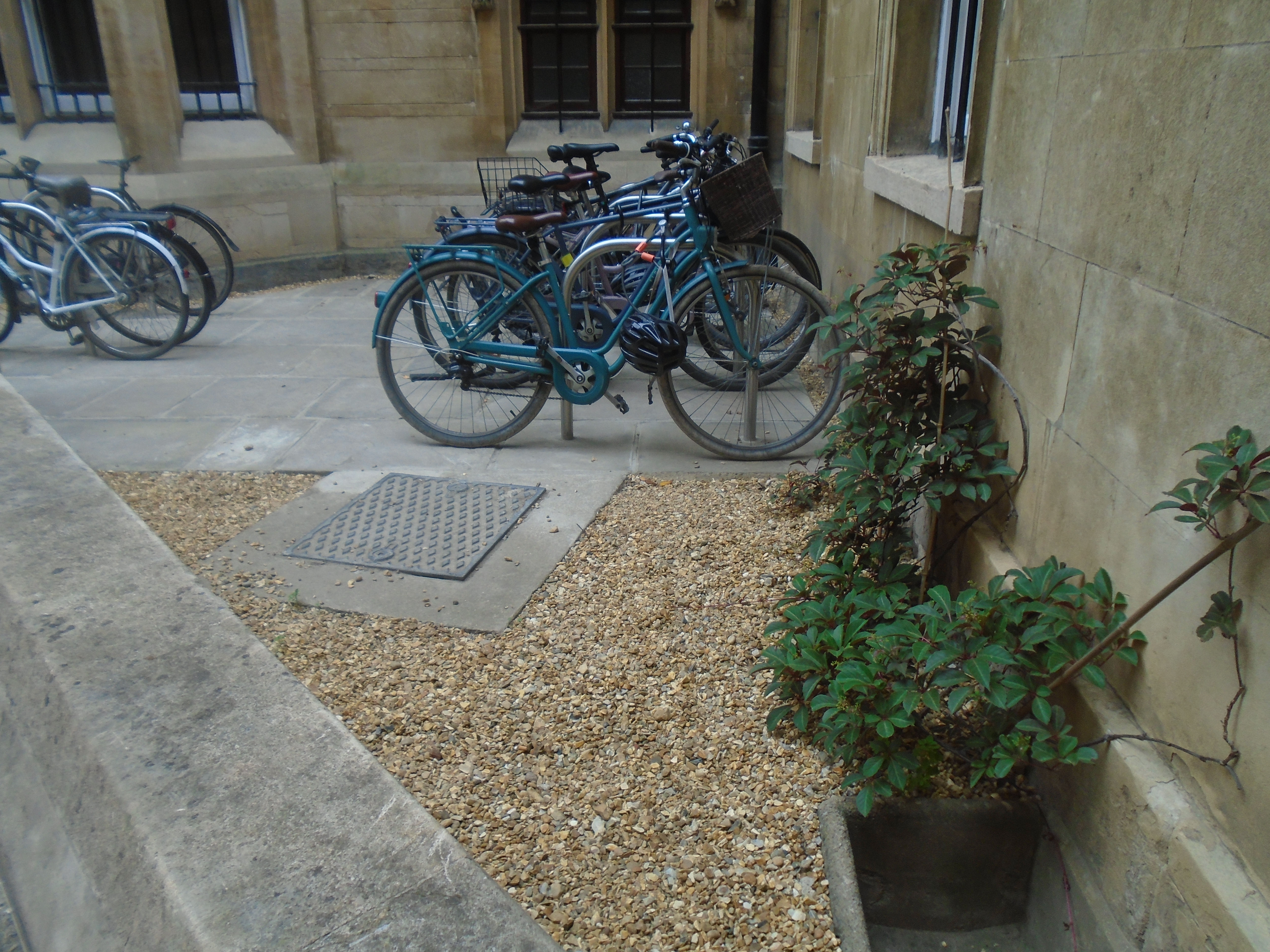
In Trinity Lane, near to the entrance to Kings Chapel, there is a patch of open space behind a little gate. Its use seems to flutuate, but at the moment, it is a bike park (see last photo). This is Jowett's Little Garden. There is a poem about it:
"A little Garden little Jowett made
And fenced it with a little palisade:
But when this little garden made a little talk,
He changed it to a little gravel walk;
If you would know the mind of little Jowett
This garden doth a little show it."
Joseph Jowett (1752-1813) was Master of Trinity Hall. It's interesting that the garden seems to have had different forms in the past as well!
Old Botanical Garden
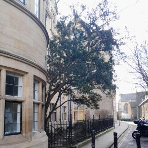
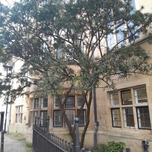
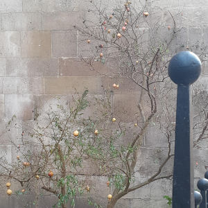
Cambridge Botanical Garden is between Trumpington Road and Hills Road, near the end of Station Road, which is some way from the centre of Cambridge. However it was not its first location. A University Botanic Garden was first established at Cambridge between 1760 and 1763. This was on about 5 acres of land then occupied by 'The Mansion House' of the old Augustinian friary, behind Corpus Christi college. It was Dr. Richard Walker, Vice-Master of Trinity College, who, on the advice of Philip Miller of the Chelsea Physic Garden, purchased the property for £1,600, and presented it to the University for use as a Botanic Garden. For some years the Garden was known as the Walkerian Botanic Garden. The Walkerian Garden was laid out and developed by the then professor of botany, Thomas Martyn. This small garden was conceived as a typical Renaissance physic garden, inspired by the Chelsea Physic Garden in London. It grew herbaceous plants used in the teaching of medical students at the university. In 1825 it was realised that a larger site was required, and the garden was eventually moved to its current position. The University built the Cavendish Laboratory on the old site, but a small patch of garden remains in Free School Lane. It has been planted with plants representative of the stock of the original garden.


Christs Pieces
|
Christs Pieces is right by the bus station, close to Christs College. It is used as a pleasant way to walk from the city centre to the Grafton Centre, and Fitzroy St and Burleigh St. 'Piece' means a piece of land, and is used of several green areas in Cambridge. You can get here from Emmanuel Road, Kings Street (down some passage ways) and the new Christs Lane.

|
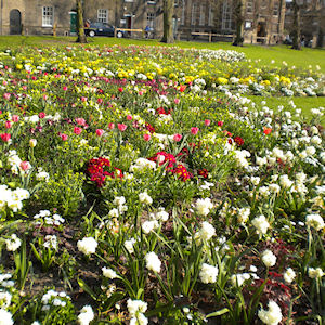
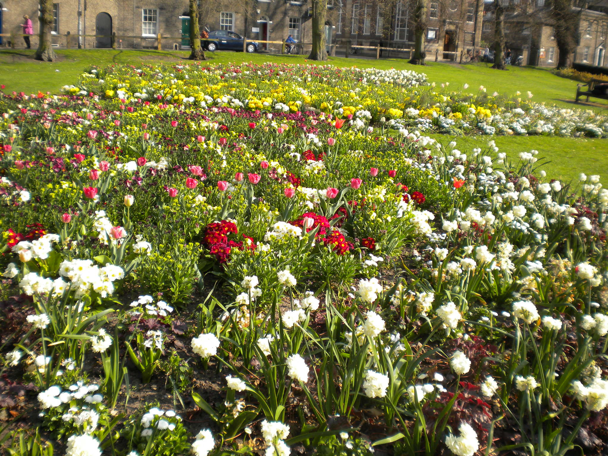
Christs Pieces is the most formal public garden in the city, with beds of flowers, closely mown grass and paths lined with avenues of mature trees. Click here for photos of Christs Pieces throughout the year (much better than mine!). - Update - apart from the Diana memorial garden, the formal beds have been replaced by wildflower planting.
|
|
This shows the Diana Memorial Garden, with the children's playground behind. The spire of All Saints in Jesus Lane provides the backdrop. There are tennis courts as well, next to the playground, and a bowling green at the other end of the Piece.

|

Christs Pieces attracts plenty of people sitting on the benches or on the grass, taking time out from shopping or waiting for a bus. But it is quite large, so you can usually find a quiet spot for yourself.
|
New Square
|
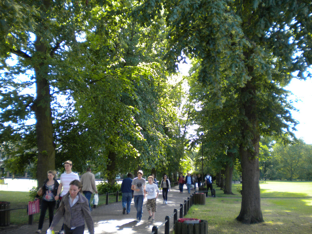
New Square is mostly used as a pleasant walk from city centre shopping to Grafton Centre shopping, and parking, hence all the shopping bags! Sometimes people sit out on the grass, but Christs Pieces is nearby, and more popular.


Parkers Piece
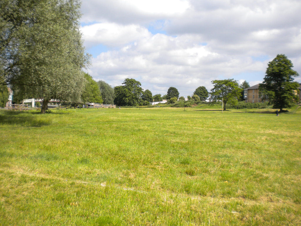
In 1613, Parker's Piece was created as a common pasture. The land had been acquired by the town from Trinity College in exchange for Garret Hostel Green where the Wren Library now stands. Parker's Piece is named after the College cook, Edward Parker, who had been farming the land as Trinity's tenant. It is a popular open patch of grass, to the south of the city centre, between Park Terrace, Parkside and Gonville Place. You can reach it from any of these roads, or from Regent Street. At first sight, it may seem odd that it's so popular, being just open grass, surrounded by trees. One reason is that it is a popular meeting place.


Parkers Piece has had a long association with sport. A local school uses it as its sports field. Cricket is often played here, by a building called Hobbs Pavilion. A plaque describes who Jack Hobbs was. Also, the rules for Association Football (soccer) were first devised on Parkers Piece. At the time, there were different rules for football all over the country, so the Cambridge students had to work out one set of rules that they would all follow.


|
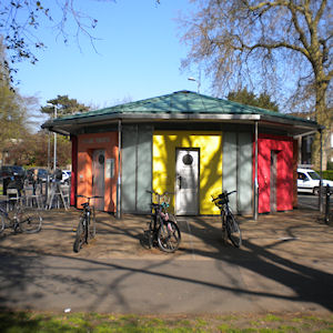
There are various buildings round Parkers Piece, such as the Roman Catholic Church, the fire station and police station, and the swimming pool on Donkeys Common. There is also a kiosk which supplies refreshments, and also has toilets - an award-winning building!
|
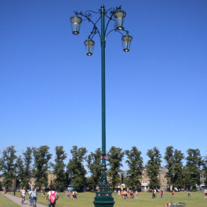
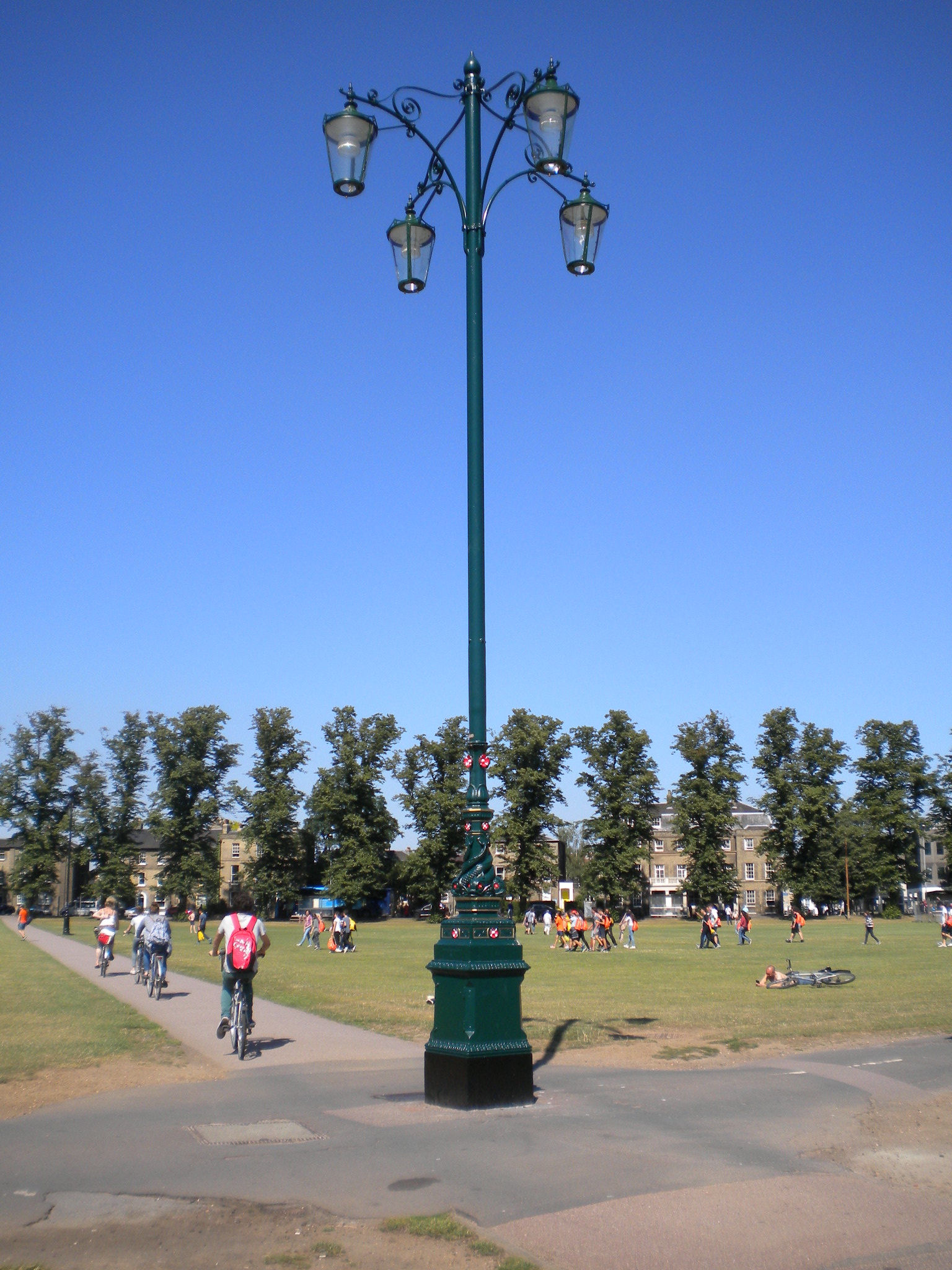
In the middle of Parkers Piece, there is a splendid lamp called Reality Checkpoint, with dolphins round it. This supposed to tell students where Reality begins!
|
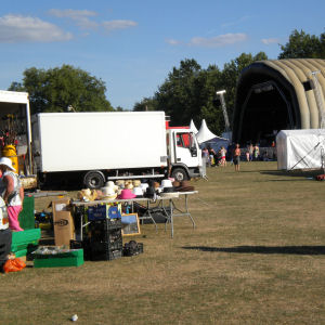
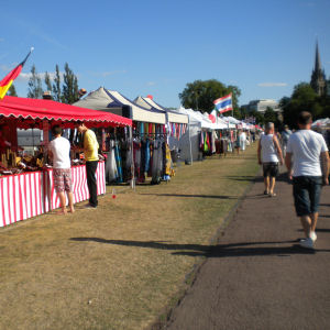
Parkers Piece has many events happening on it, apart from the sport. In the summer, the Big Weekend has 3 days of music, with stalls and fairground rides.
|

| |
Donkeys Common
This was originally a piece of common land near Parkers Piece. Part of it got made into Petersfield. Part of it got built on, including the swimming pool. But some grass and trees were left round the swimming pool. Since the pool has a glass wall, you can almost imagine that you are swimming outside. A skateboard and bike park has been built on this grass, so it has become a meeting place for young people.
The pool has an attractive curved roof, like a wave.
You can reach this via Mill Road or Gonville Place. People tend to use it as a short-cut. The pedestrian crossing across Gonville Place for the junction with Mill Road, or to get to Parkers Piece, is actually further along Gonville Place, so you reach it by crossing Donkeys Common.
|
Petersfield
|
Petersfield is also close to Parkers Piece, on the corner of Mill Road and East Road, and you reach it via those roads. This means that a busy road junction has grass on three corners (and a fire station on the fourth!) There is also an entry to Petersfield from Bradmore Court, but this is only likely to be of interest to people from Anglia Ruskin University. Petersfield has lovely trees. It is small, but attractive, and people both walk through it and sit on the grass. It also has a small children's playground. At one point, this area was owned by Sir Peter Burrell (or Lord Gwydir) and Petersfield may be named after him.

|

In the middle of Petersfield there is a lamp which used to be a gaslamp. It was very attractive glimpsed through the trees. Anyone who has read the Lion, the Witch and the Wardrobe by C S Lewis might be interested to know that C S Lewis, although an Oxford man, did spend some time at Cambridge. I've always wondered if he ever walked across Petersfield!
|
Mill Road Cemetery
It may seem strange to include a cemetery here. Mill Road cemetery is no longer in use. There are plenty of trees, and some of the cemetery is managed to encourage wildlife.
The cemetery lies between Mill Road and Norfolk Street. The main entrance is in Mill Road, opposite Covent Garden, with a side entrance from the corner of Mackenzie Road and Collier Road. There is an alleyway which leads to Norfolk Street at the other end of the cemetery, and a side gate leading through the Gwydir Enterprise Centre off Gwydir Street (near the bollards). Plenty of people enjoy walking through the cemetery as a pleasant short-cut.
There is an interesting grave of a coach driver. There is also a tap and bowl if your dog is thirsty. The old custodian's house is made of flint.
Mill Road Cemetery has its own website.
| |

|
|
Murdered prostitute's grave, Mill Road cemetery
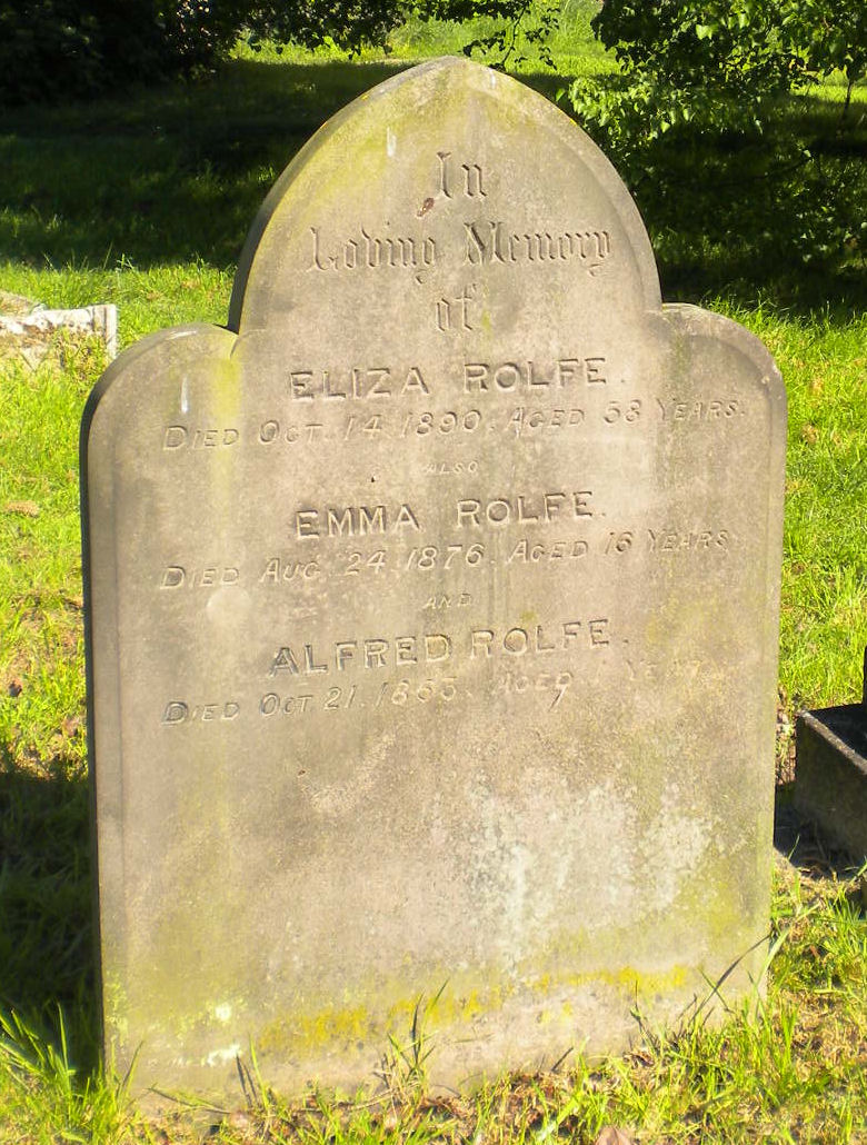
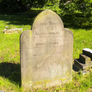
This grave is in Mill Road cemetery. This grave looks dull, a mother with two children, one died as an infant, the other as a teenager. But there is an interesting story behind it. The middle name was a girl, Emma Rolfe, who died when she was 16. She was a prostitute who was murdered by a client, Robert Browning, on Midsummer Common. 2,000 people attended her burial at Mill Road cemetery, and her murderer was hanged in the Burough Jail, which was on Parker's Piece.
The gravestone says of her only Emma Rolfe died Aug 24 1876, aged 16 years. She is buried in the part of the cemetery belonging to the parish of St Andrews the Less.
|
|



St Matthews Piece
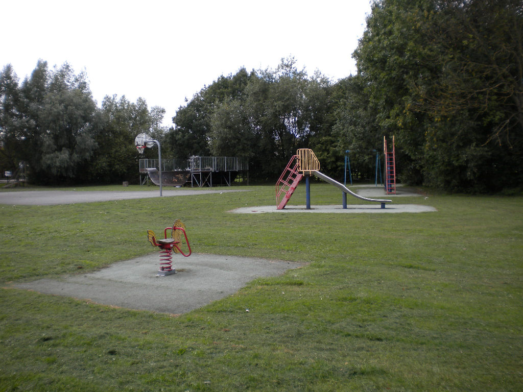
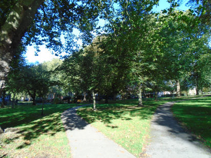
This is the third Piece in Cambridge (although Christs Pieces is plural, of course), the smallest and least known. It is named after the local church. People walk through, and sit down on the benches. There is a children's playground and a basket ball hoop. Best of all, there are mature trees for shade and interest.
You can reach this area from Sturton Street or York Street, or a small road called Abbey Walk.
Coldhams Common
Coldham's Common is large. It has quite a complex range of uses, so I have provided a map showing some of them, and the relationship of Coldham's Common to its surroundings, including other green areas. The Cambridge Cemetery, by the way, is the current cemetery, unlike the Mill Road cemetery. Click on the red names for descriptions and photos. There is a scale on the map - 100 metres is similar to 100 yards and 400 metres is about a quarter of a mile.

You can reach Coldhams Common from Coldhams Lane, Newmarket Road (over the railway bridge), Barnwell Road and from the Whitehill estate, in particular, past Abbey swimming pool, which has a car park. But this description starts at the Coldhams Lane entrance.
Part of Coldhams Common is cut off from the rest by the railway line. This part lies along Coldham's Lane. It is rough grass, with trees round the edge. Take the path to the underpass, which is one way to cross the railway line.
Walk through the underpass. You now have a choice of paths, and there is a helpful sign which tells you where to go.
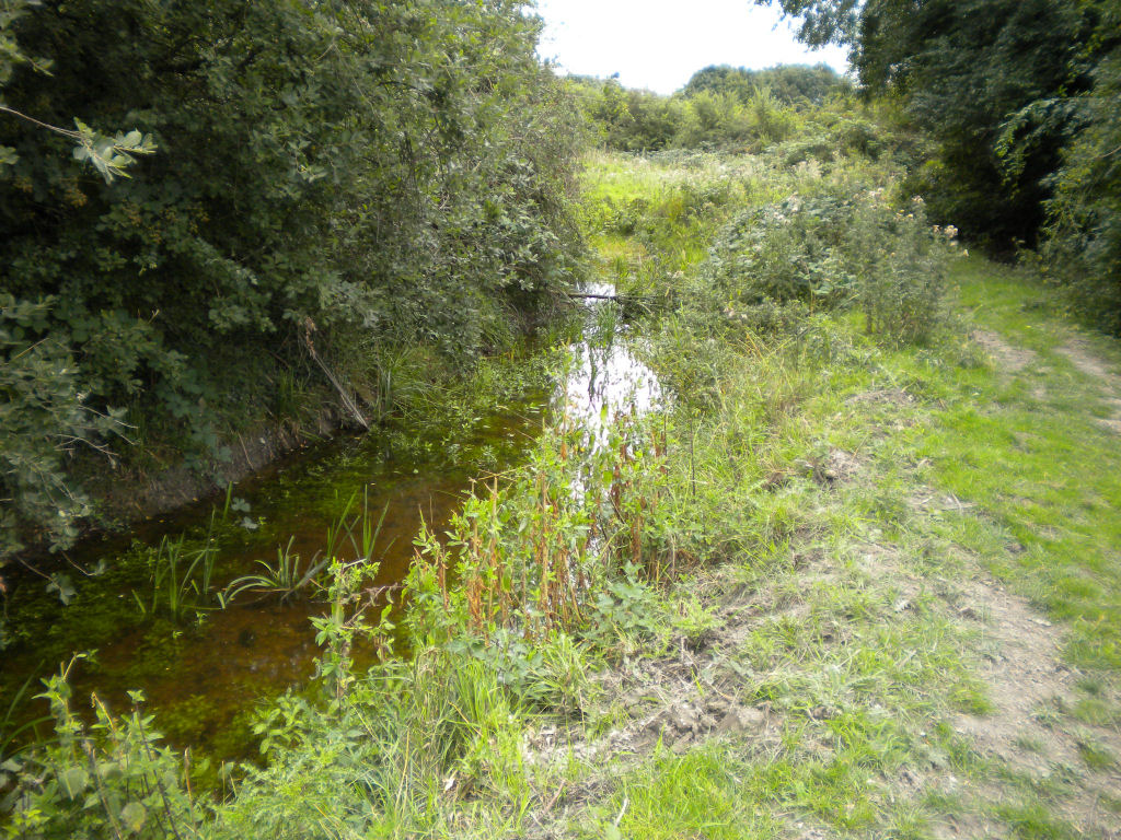
If you choose the path to Abbey, Chesterton and Kings Hedges, you will end up on the Newmarket Road. This is a pleasant walk across the common, with interesting areas to look down and explore, and a little stream running alongside the path.
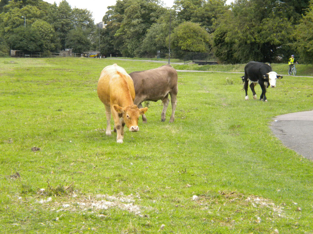
Cows may come up to say hello. Near Newmarket Road, the Cambridge United football stadium starts to dominate, suggesting that the common might not be so quiet on match day! But you can glimpse the Norman Leper Chapel through the trees, across Newmarket Road, hinting at a little of the history of this ancient common.
From the underpass, the other path leads to Abbey swimming pool.
Close to Abbey pool, we get more uses of Coldhams Common:
BMX park

| |
Sport fields

|
You can walk round the sport fields, if you want, but there is another way. Go to the Abbey pool, and through the first carpark. At the end of the carpark there is a beaten earth track (marked on the map above) which is a secret woodland walk. The 'wood' is only a few trees thick, and you can often glimpse the sports fields on one side and houses on the other, but it shows another side to Coldhams Common.
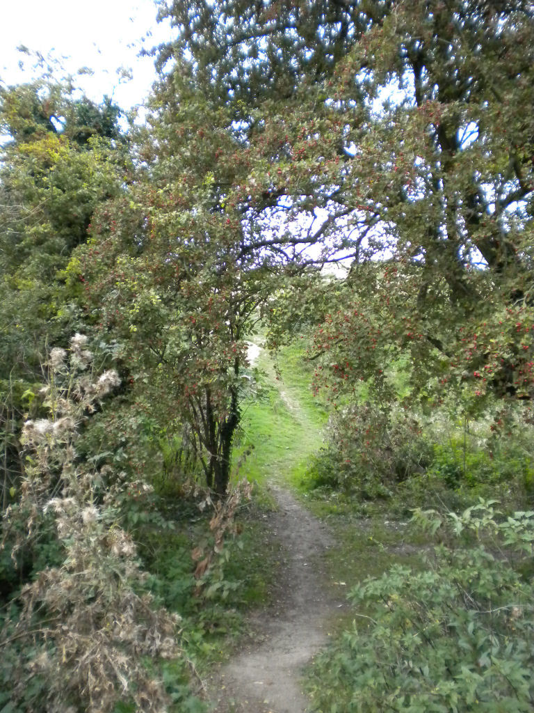
When you come out on to the open common again, it is rough grass, with trees, a little stream, interesting paths to discover and walk down.
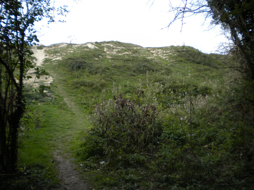
Halfway down the east side of the common, there is an exit to Branwell Road. Just by there is a hummock called the Rifle Butts. It is a scramble to get to the top of this, but there is a good view over the common and beyond.
Carry on walking round the edge of the common. There are wild flowers in some areas and blackberries in others.
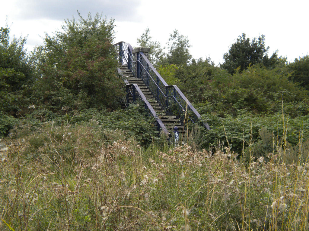
Eventually you will find yourself back on the sports fields where you discover the railway bridge. This is the other way across the railway line, and takes you back to the Coldhams Lane part of the common. As you leave the common, you can see a playground ahead, and to the left. It has the usual swings and slides, plus a basket ball court and activities for older children.
Ascension Parish Burial Ground
Mill Road cemetery is above. There is quite a famous burial ground to the north of Cambridge, off the Huntingdon Road. It used to be the burial ground of St Peter's and St Giles' churches. Various important academics have their graves here. The most famous is probably Ludwig Wittgenstein.


Histon Road cemetery
The Histon Road cemetery is fairly close to the Ascension Parish Burial Ground, between Histon Road and Victoria Road.
|

|
These cemeteries are to the north of the map at the top of the page. Here is a map showing their locations.

Giant's Grave, Cherry Hinton
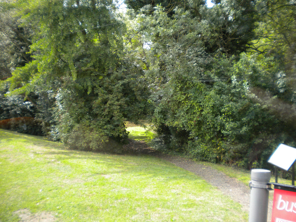
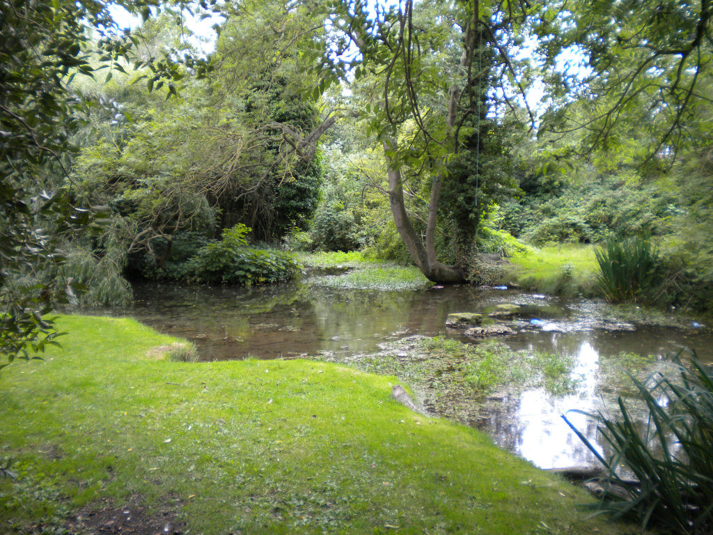
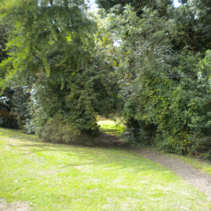
This is quite a way from the centre of Cambridge. If you are heading for Cherry Hinton, you may notice a patch of greenery at the corner of Cherry Hinton Road and Queen Ediths Way, opposite the Robin Hood pub. There is a path disappearing between the trees and a glimpse of water. Follow the path and you will see a small pond with an island in the middle.
|
| |

|
|
| |
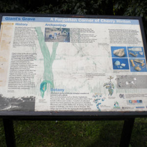
There is a notice near-by which explains more.
The island in the pool is locally known as Giant's
Grave, but who is the giant? Legend says that the giant Gog Magog lived nearby, perhaps on the Gog Magog hills, and he is buried here. Another suggestion is that some unusually tall skeletons were found from Iron Age burials on Lime Kiln Hill close-by.
This 'site is also locally known as 'The Spring' or 'Springhead' or 'Robin Hood dip'. That must be why the pub across the road is called the Robin Hood!
Cherry Hinton used to consist of two separate settlements called Church End and Mill End. The southern settlement, Mill End, developed around Giant's Grave, as it was a large natural spring pool and provided an excellent supply of fresh water.
Click on the photo of the notice for a larger version which you might be able to read. It gives some details about local flora and archaeology.
|
This is not on the map at the top of this page, as it is too far from the centre of Cambridge. Here is a map showing its location.

© Jo Edkins 2010 - Return to Walks index
|
|
|

 Greens, Commons and Pieces