| U3AC walks | U3AC walk - Coe Fen and Sheeps Green |
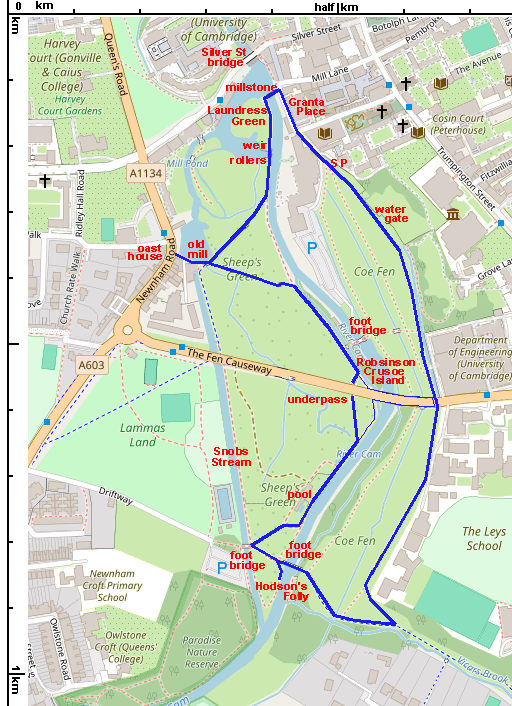
Route: Weir, Granta Place, Coe Fen, over Fen Causeway, across footbridge, back along Sheep Green, across weir
Length: 1.5 miles Start and Finish at the weir, by Mill Lane, near the Mill pub and Scudamores Boatyard.
This is a walk along the banks of the river Cam, through land that has been left as fenland - that is - often soggy! There is a network of ditches and streams, so it is wise to keep to the paths!

We start at the weir, outside the Mill pub. From this point, there is a good view of Silver Street bridge, which is listed grade II. It was designed by Sir Edwin Lutyens in 1932 and built in 1958-59.
The weir is an important part of the river, as it separates the central part from the upper river. There are punts galore here. You will see that they are in two groups, either side of the weir, those who will travel along the Backs, and those who will head for Grantchester.

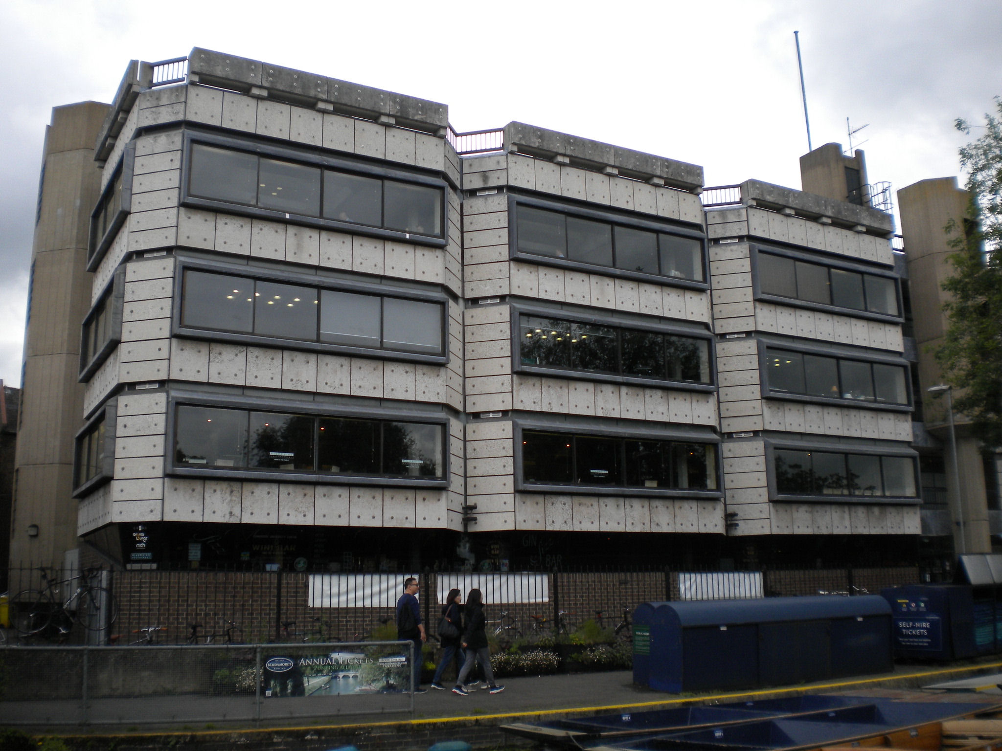
The Graduate Centre is listed grade II. The listing says "representative of the New Brutalist aesthetic in a sensitive historic location"! The university has moved the restaurant out to West Cambridge, and is trying to work out what to do with this building.
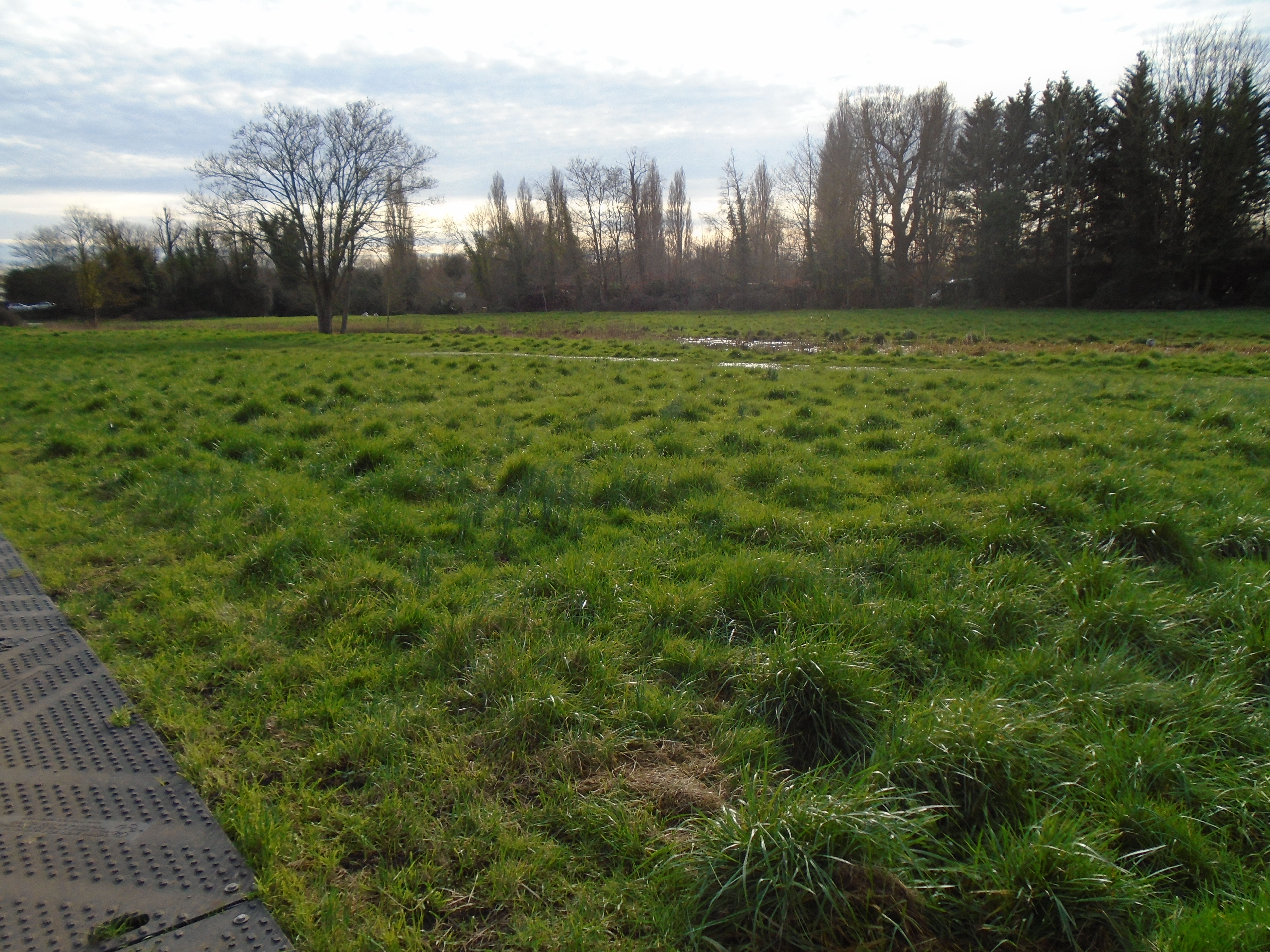
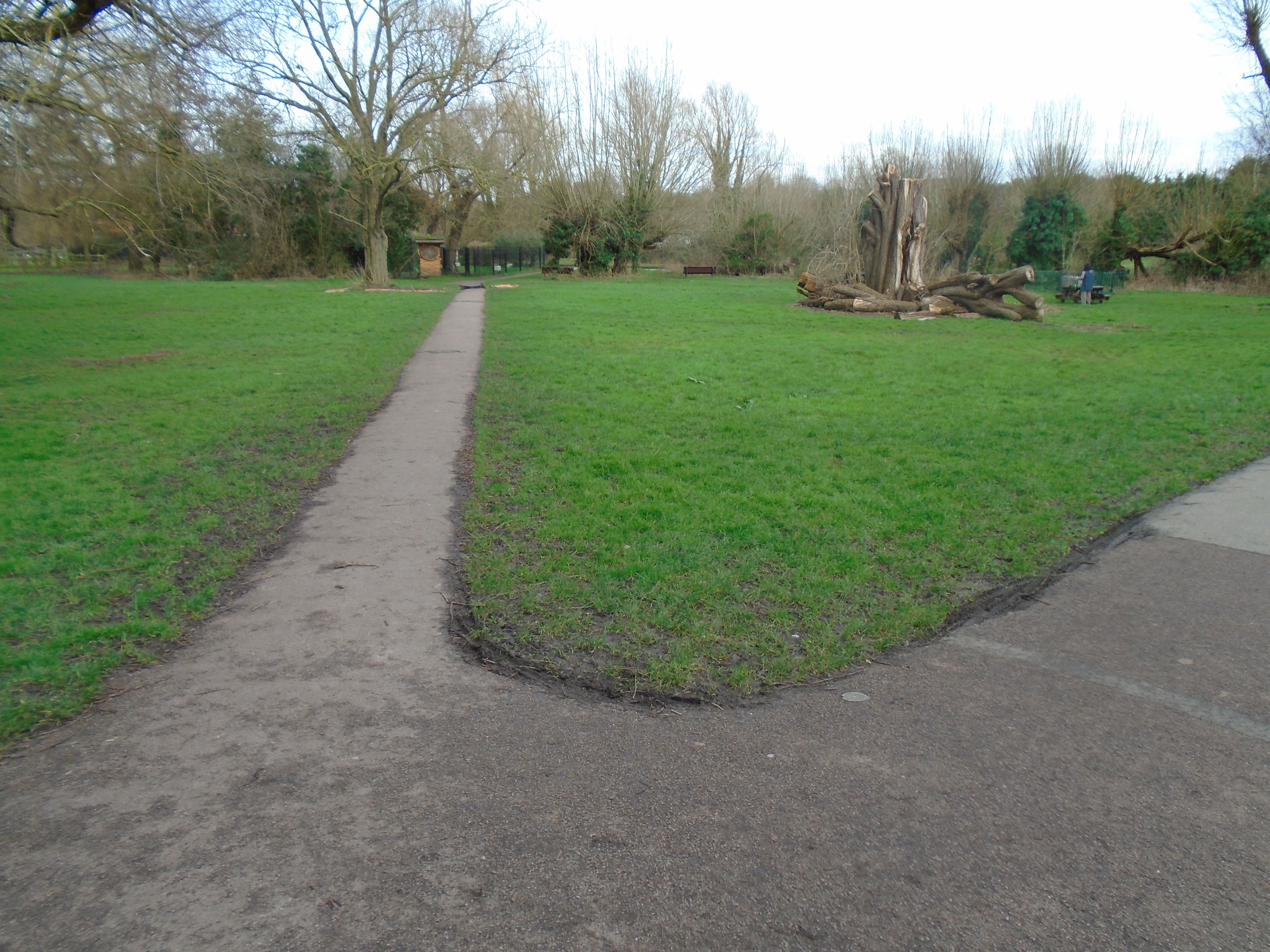
Walk past the punts, and the hotel beyond (which keeps changing its name! A lot of people call it "the hotel which used to be the Garden House", but now that's the name of its restaurant). You will end up in Coe Fen. This is an open piece of rough grass, with puddles if it's been raining! It's a good idea to keep to the paved path, as there is a ditch running across here, plus the soggy patches. Coe Fen is named after the cows used to graze here, and still do, sometimes.

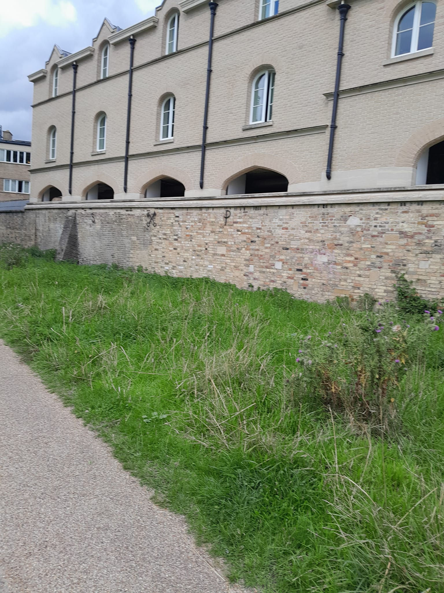
This lettering - S P with crossed keys between - is on a wall bordering the northern end of Coe Fen, close to the Graduate Hotel (foermerly the Garden House). The crossed keys is a symbol of St Peter, so presumably that is what S P stands for. Peterhouse is close by, but its coat of arms is different.
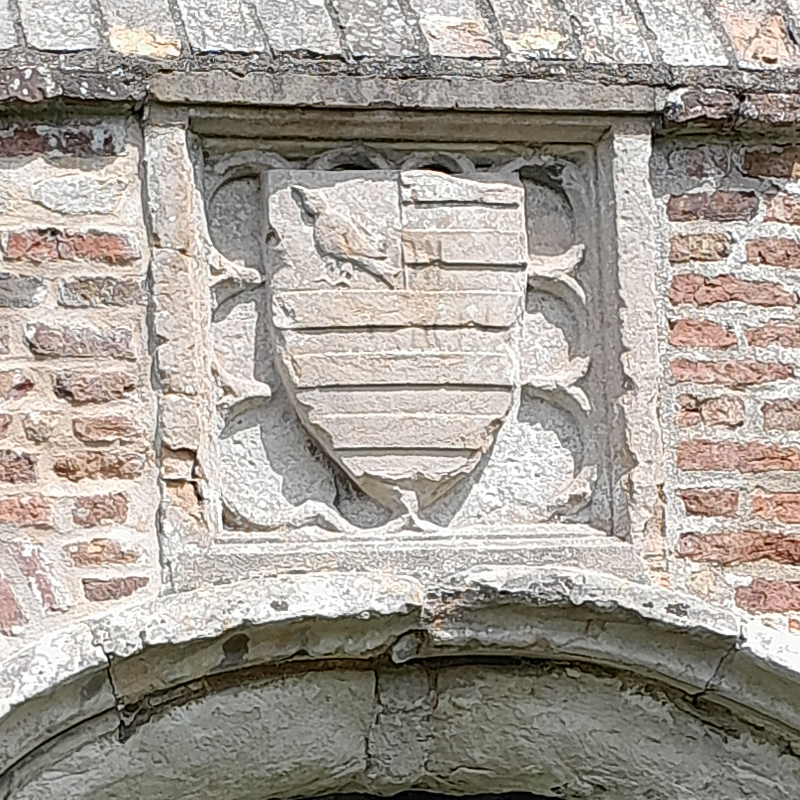
On your left, there is a wall by the side of the common, and in it, there is an old gate. This is a watergate of Peterhouse. It's listed grade II, "Stone and rubble built wall, much patched with brickwork. Cl6 or earlier, with later alterations."
Capturing Cambridge says "the Water Gate enabled the Bishop of Ely and others to arrive at Peterhouse via Coe Fen by boat, together with a flight of steps on the college side that enabled members to watch the water rushing by in times of flood. The arms on the Fen side of the gate are those of John Hotham, Bishop of Ely, 1316-1337, and those inside are of Bishop John Alcock, 1486-1500. Coe Fen had been very marshy but in the C19th rubbish and road sweepings were dumped on it to raise the level."

To your right, you can see a footbridge. This is over the Cam, although you can't see the river itself on this part of the walk.
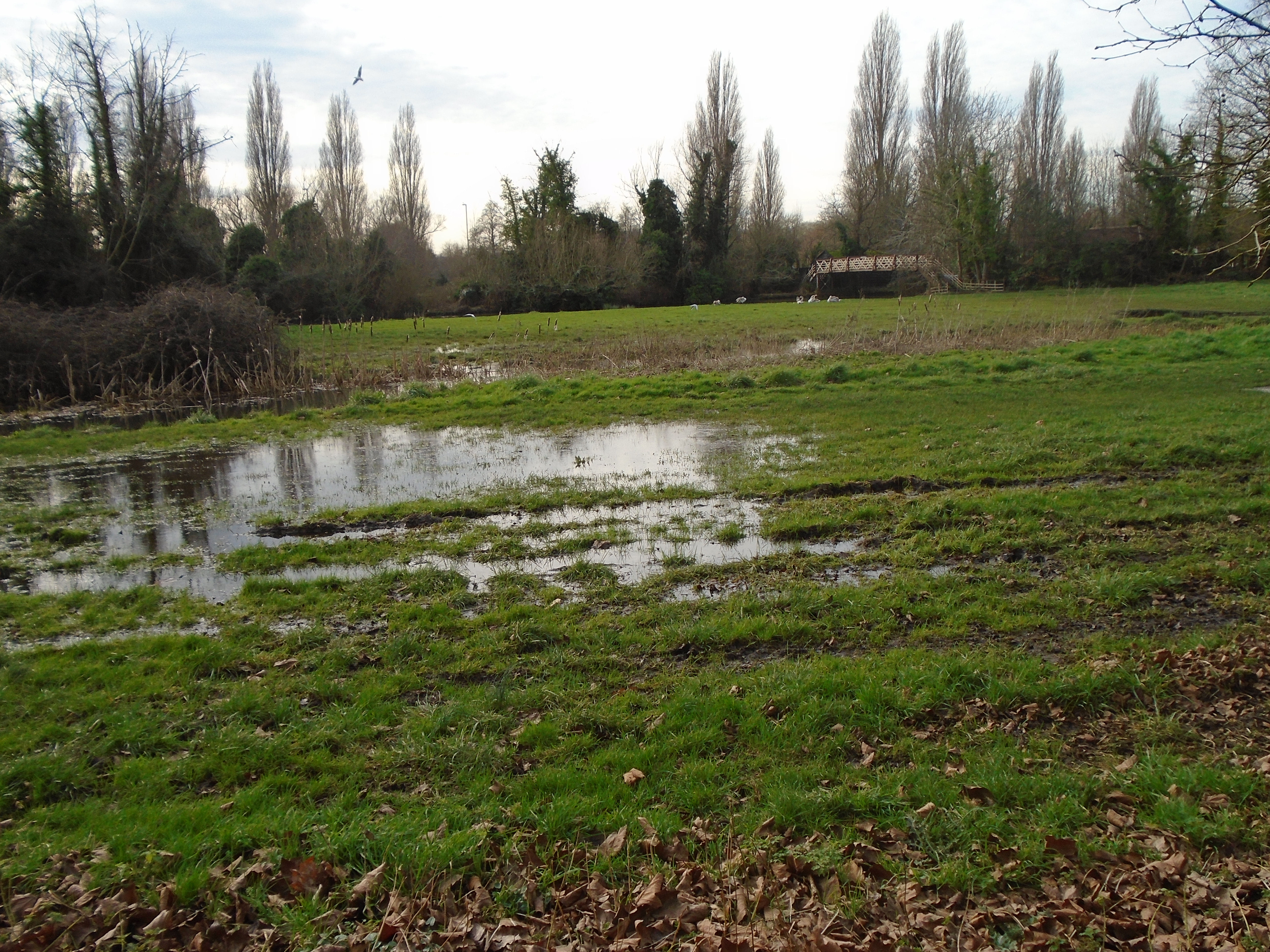
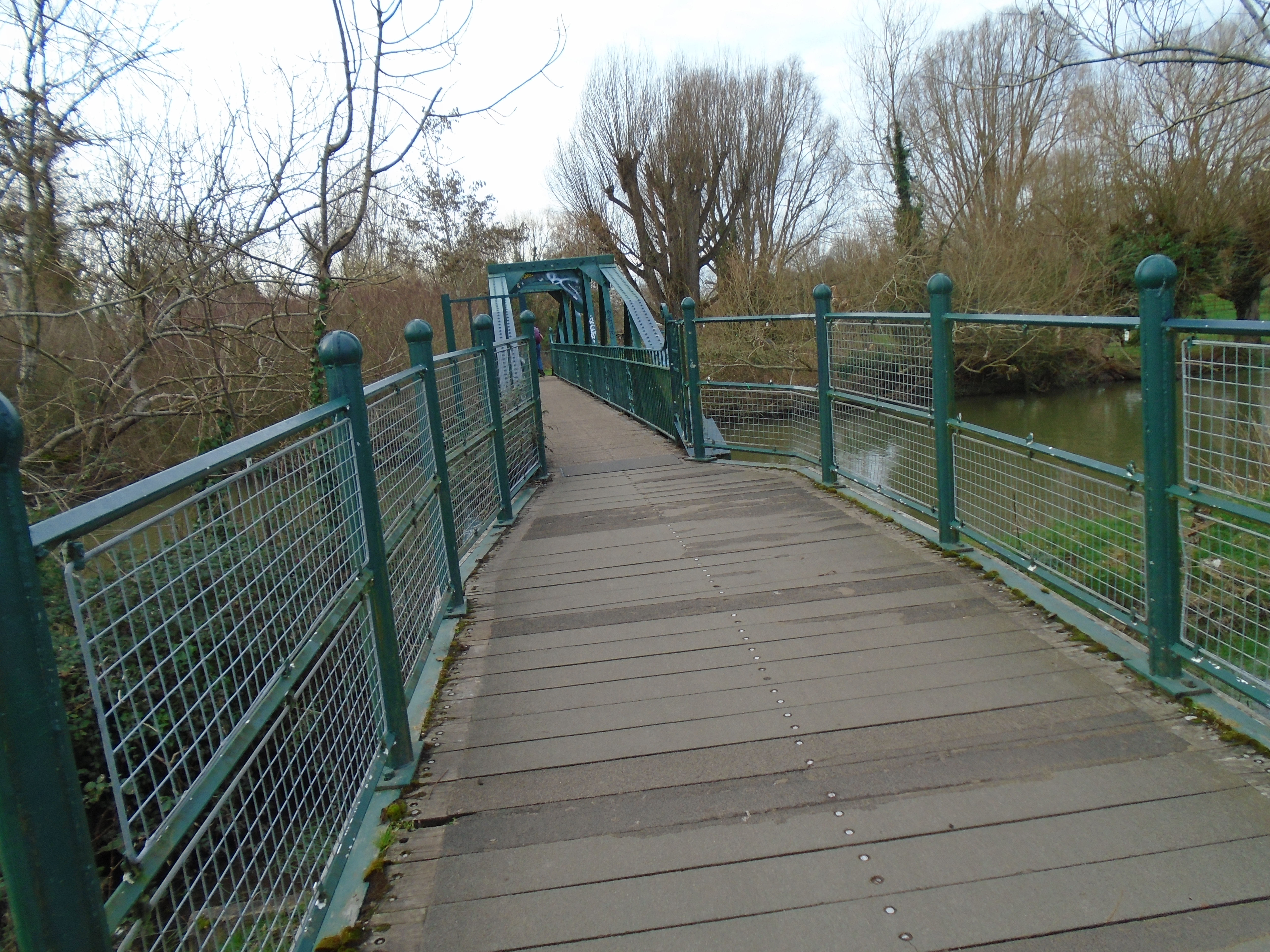
Carry on, crossing Fen Causeway using the pedestrian crossing. The path carries on veering off to the left. This would eventually take us to the New Bit (across Trumpington Street from the Botanic Gardens). But we're not going there. We bend back to the right, to cross the Cam by another footbridge. This takes us to Sheeps Green (presumably where the sheep graze, although I thought we were taught at school that sheep shouldn't graze near rivers.)
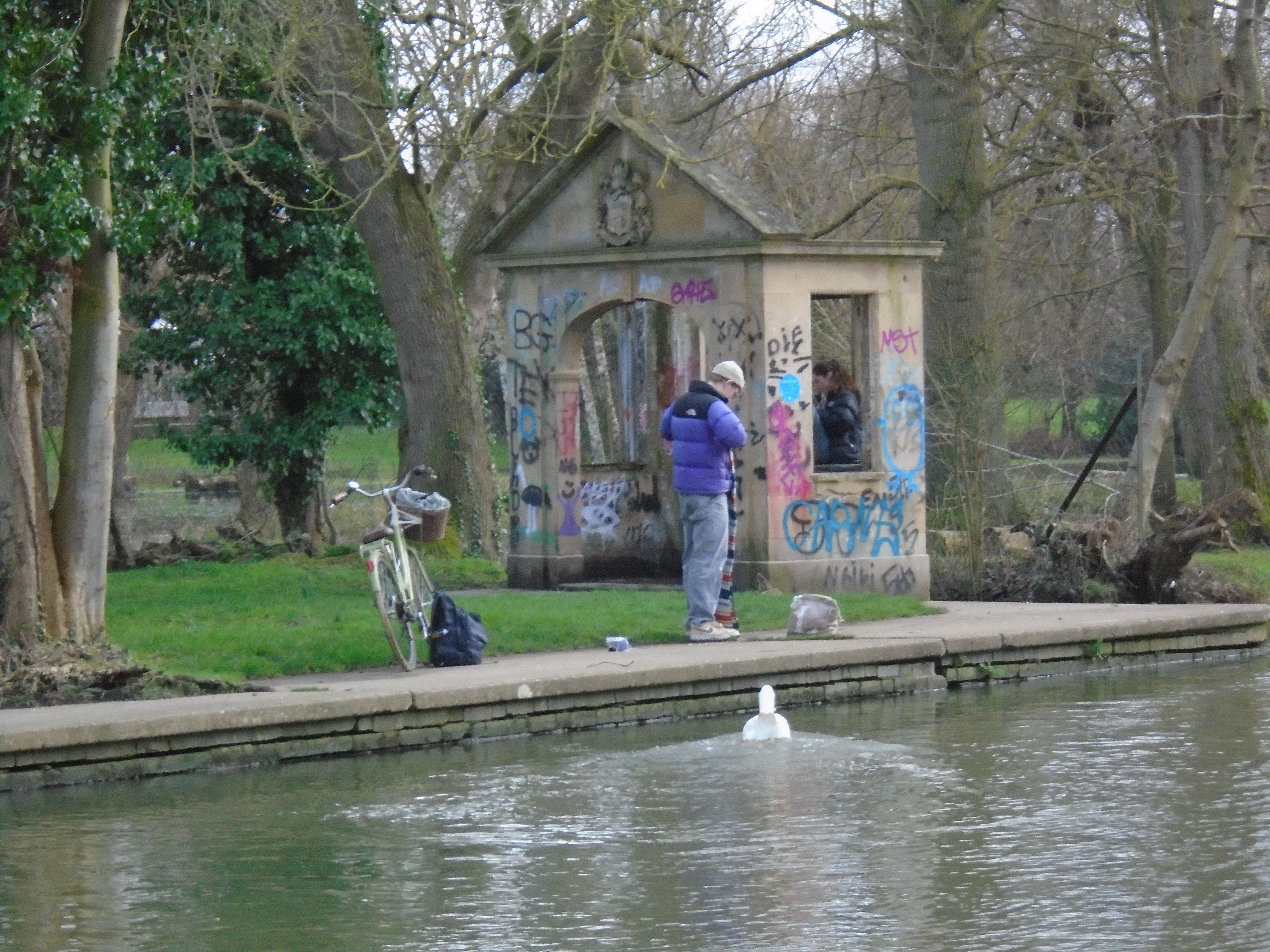
While on the bridge, you can see a couple of small houses on the Coe Fen side of the river. One is a boat hourse, I think, and the other is Hodson's Folly. This is a summerhouse built in 1887 by John Hodson, butler at Pembroke College, in order to keep an eye on his daughter as she swam in the river. You get a better view if you over the bridge, and then turn left to follow the bank a little.
Return to the end of the footbridge, and continue on to yet another footbridge. Why? Well, Sheep's Green is actually an island. The river Cam splits in two a little to the south of where we are. Coe Fen is on the east bank of the Cam, Lamas Land and Paradise Nature Reserve are on the west, and Sheeps Green is in the middle! This bridge crosses the smaller river channel called Snobs Stream (which we will meet later).
This second bridge goes to Lamas Land straight ahead, and the Paradise nature reserve through the car park. The earliest mention of bathing in Cambridge records that in 1567 the son of Walter Haddon, while at King's College, was drowned "while washing himself in a Place in the river Cham called Paradise", and William Stukeley, the eighteenth century antiquary, when at Corpus College in 1704 wrote: "I used to frequent, among other lads, the river in Sheep's Green, and learnt to swim in Freshman's and Soph's Pools, as they are called, and sometimes in Paradise, reckoning it a Beneficial Exercise". But no-one seems to know why it's called Paradise! Lammas Land was a patch of land where animals could graze for free, after Lammas, a harvest festival.
We don't cross this bridge. Instead we turn back towards the river.
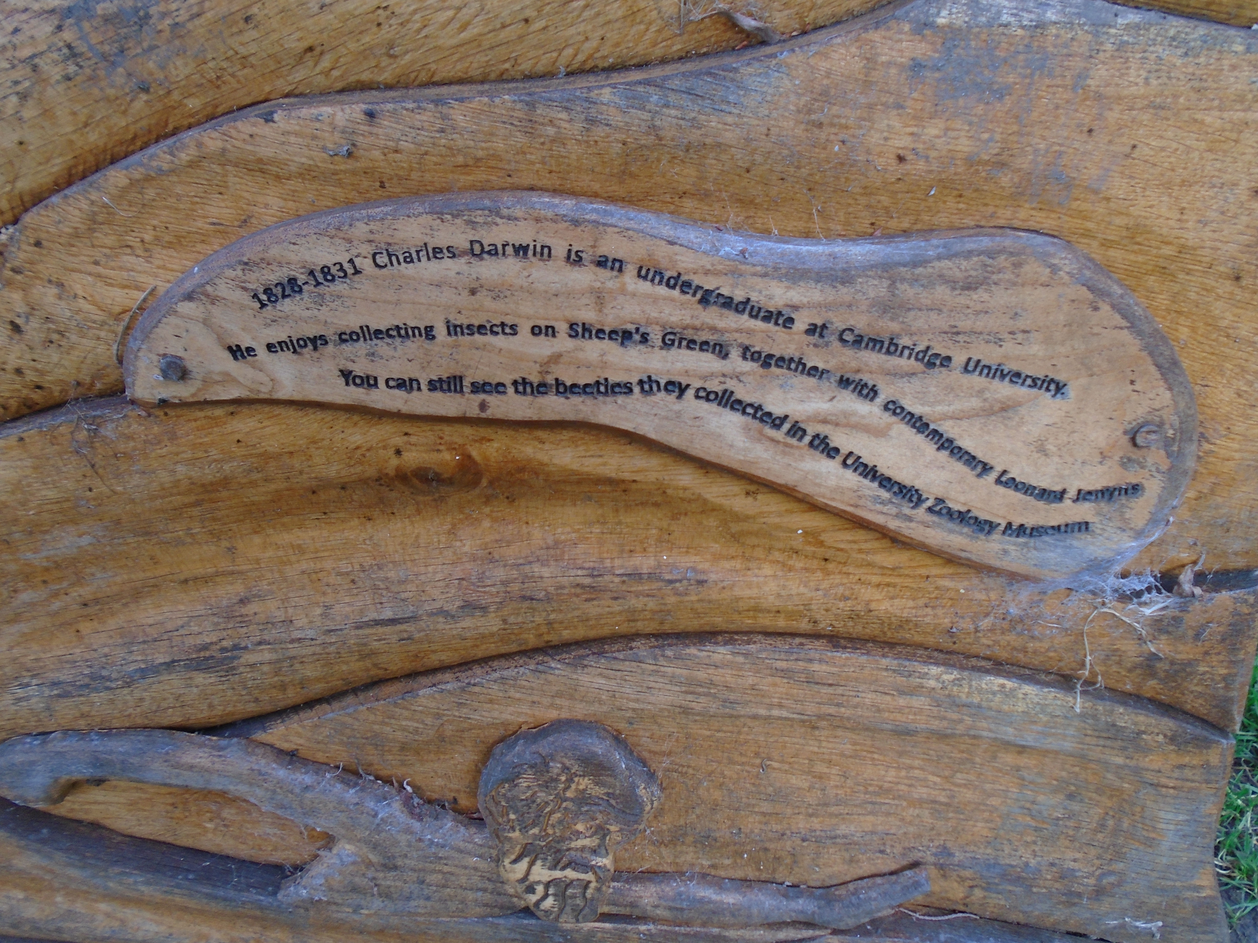
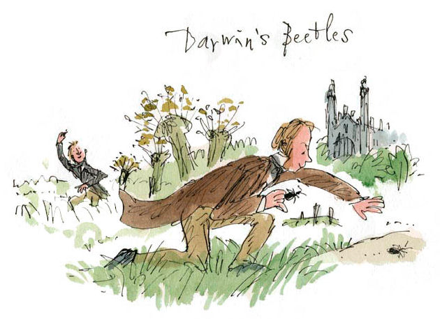
There is a learner pool here. This modern pool is heralded by this splendid sign/bee hotel. The sign says "1828-1831 Charles Darwin is an undergraduate at Cambridge University. He enjoys collecting insects on Sheeps Green together with contemporary Leonard Jenyns. You can still see the beetles they collected in the University Zoology Museum." This has been illustrated by Quentin Blake.

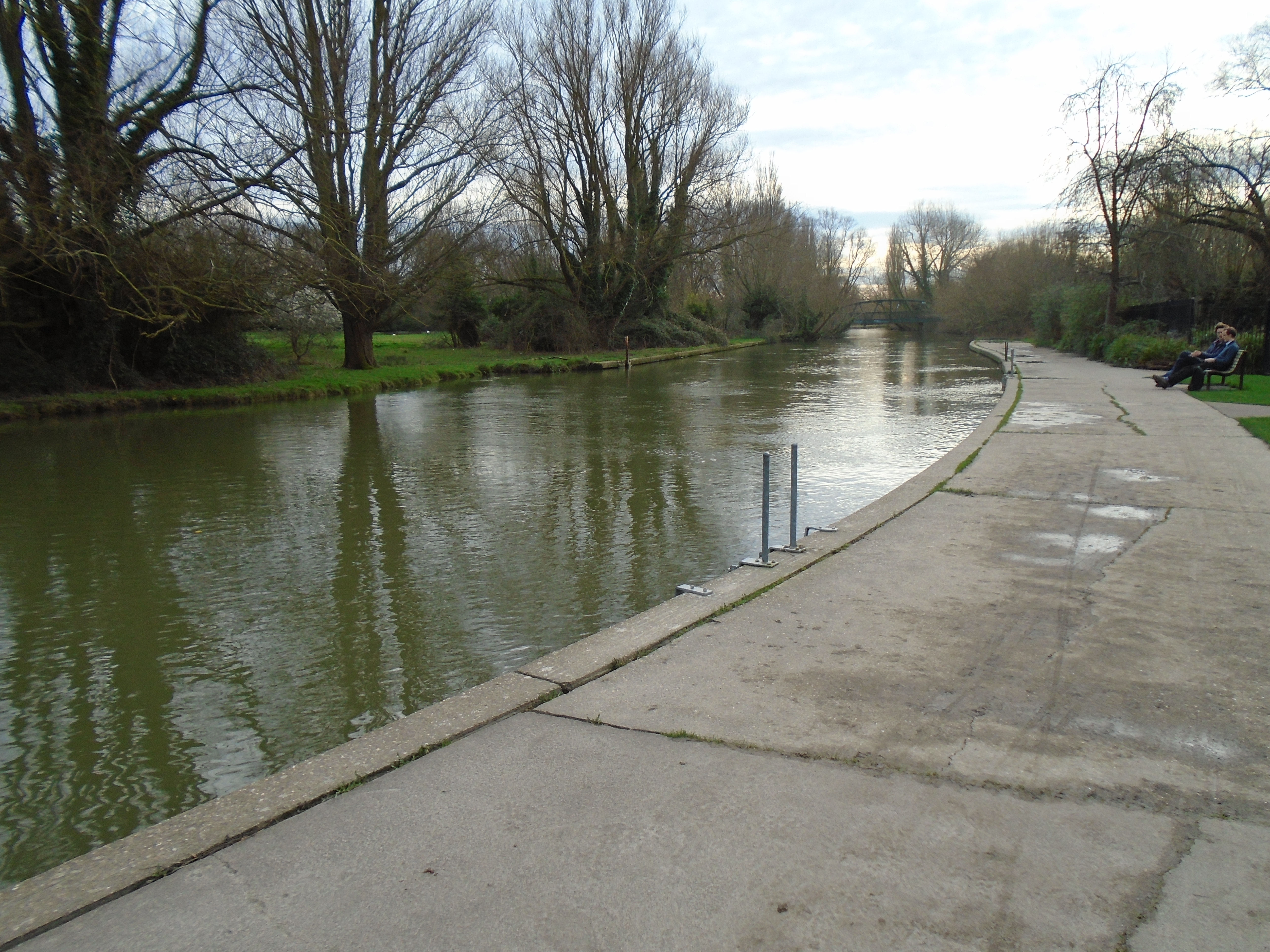
There used to be swimming in the river here.
From Cambridge Independent: "The River Cam at Sheep's Green is set to be designated as a bathing water site under government plans to improve water quality across the country, it has been announced today (Monday, 26 February 2024)."
From Cam Valley Forum: "Once the site is 'Designated', the Environment Agency will test the water quality every week throughout the bathing season, publishing the results on the DEFRA website. These results will be very useful for swimmers and other river users."
It does not mean that it is safe to swim here yet! But hopefully it will help to make it so. The sample results are here.
There is a learner pool here.
Beyond the pool is this device. The notice starts "Fish are swimming beneath your feet! A large pipe links this automated sluice structure with the main river, providing water to 'The Rush' stream, and allowing fish to bypass the downstream weirs at Newnham and Bishops mills." (click on photo for a larger version if you wish to read the rest). Weirs are necessary to control water levels and flow, but they're bad for fish.
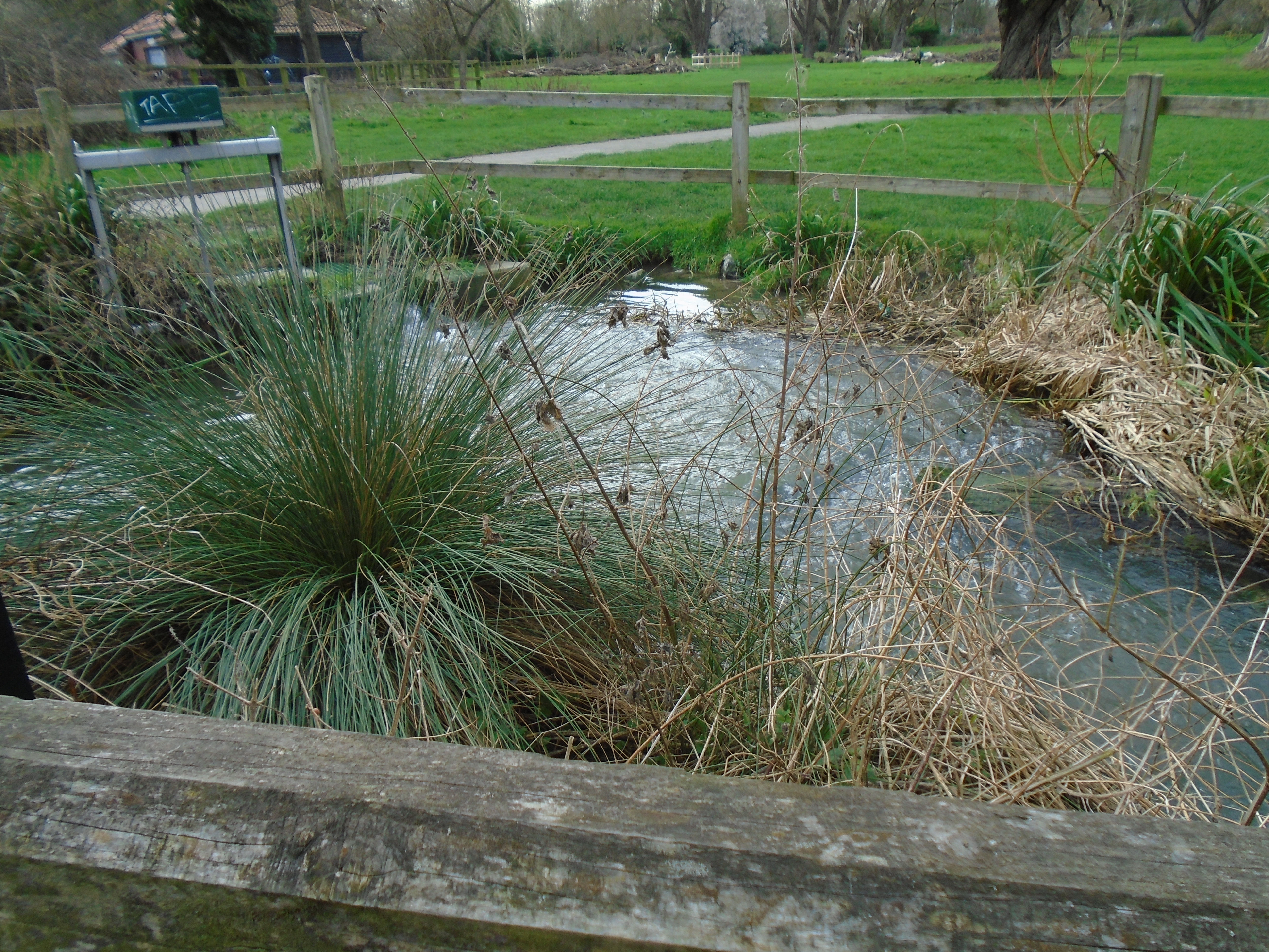
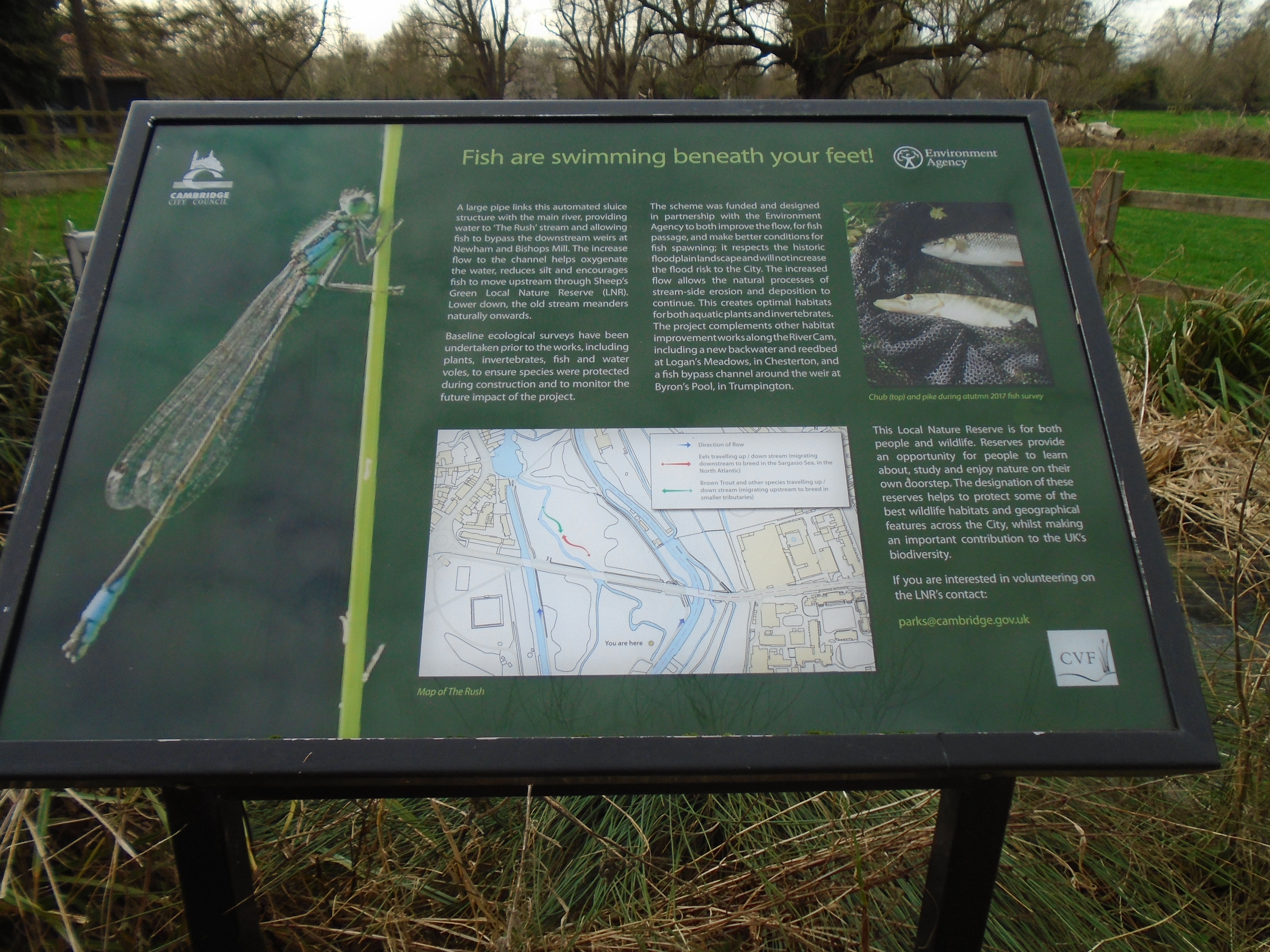
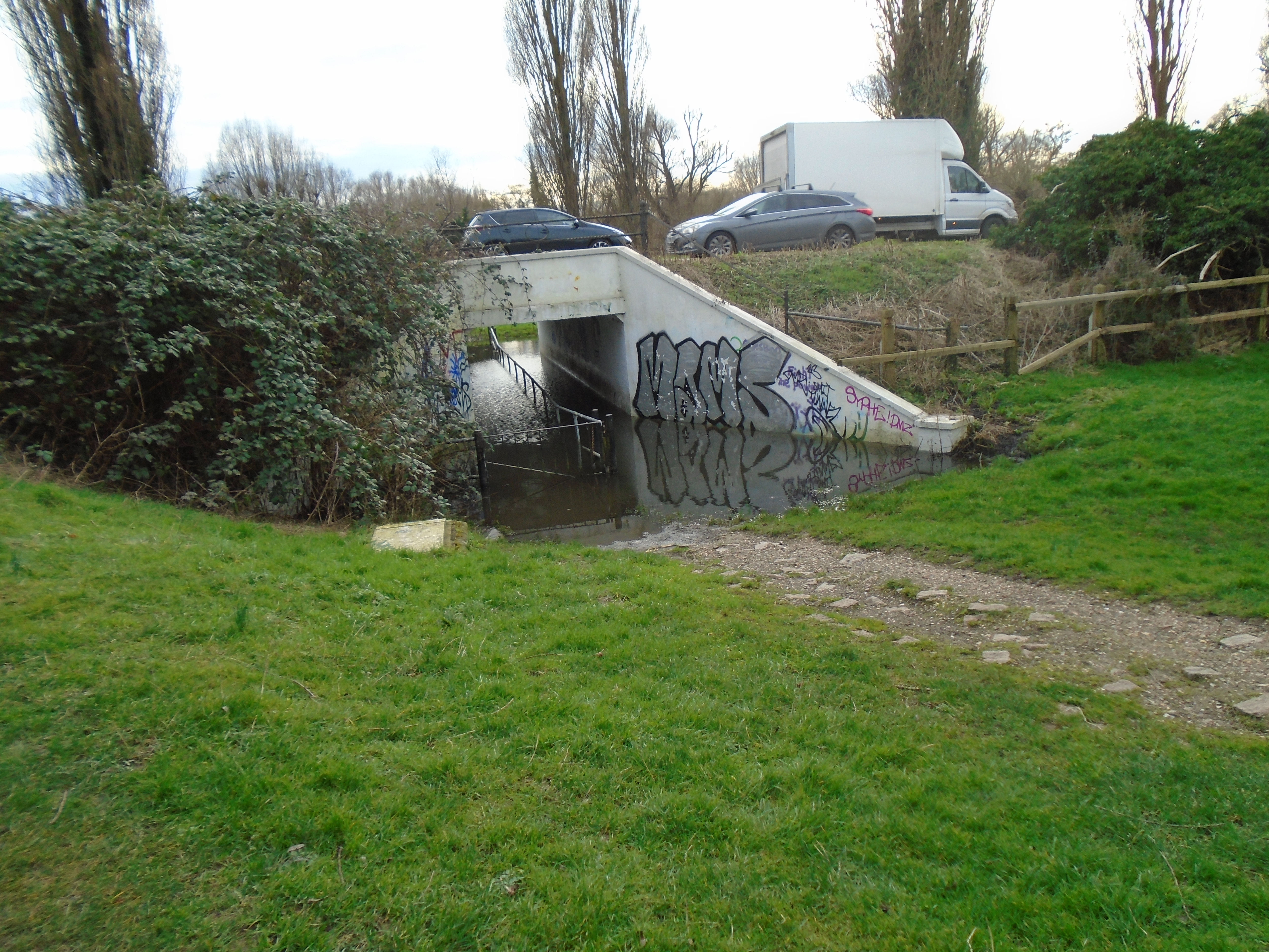
We carry on by the river until we meet Fen Causeway again. There is an underpass, but there may be a reason why we can't use it! If so, go onto Fen Causeway, and turn right to cross it by the pedestrian crossing (as the road is quite busy). Return back to Sheeps Green again.
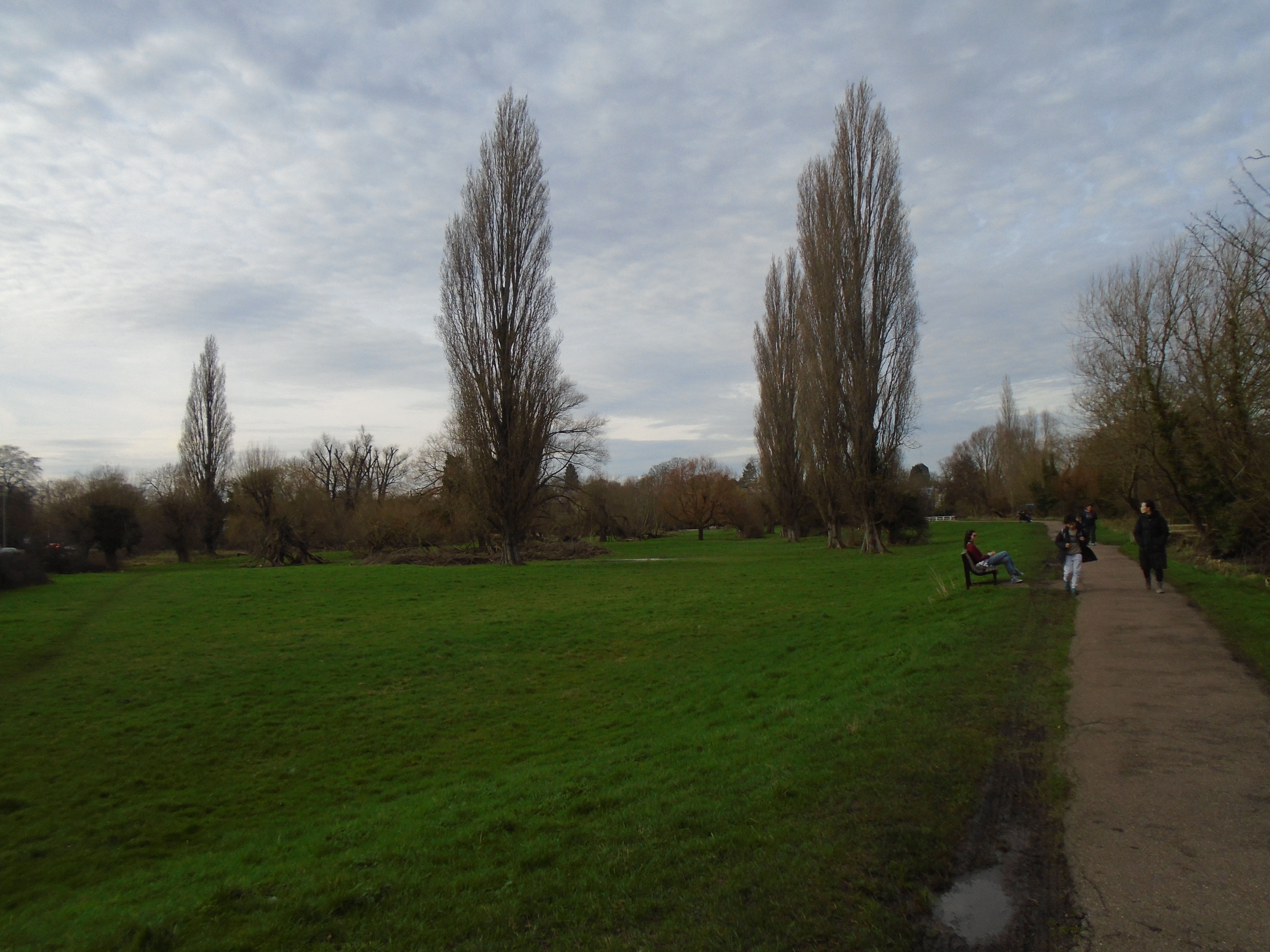
On your right, there is another island (remember that Sheeps Green is an island itself!) This is called Robinson Crusoe Island. There is a bridge to it, and continuing over to Coe Fen. This is the bridge we saw from Coe Fen.
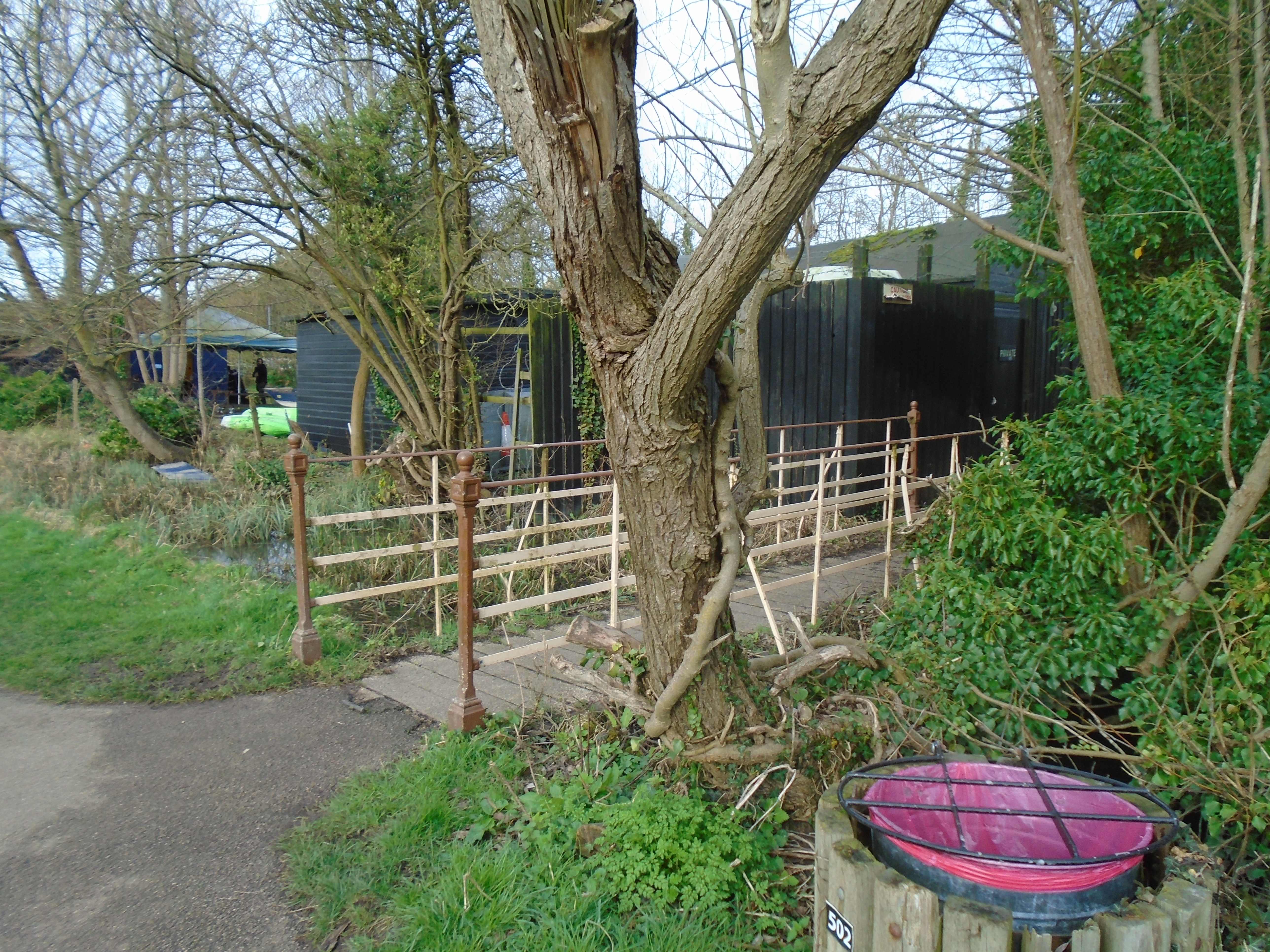
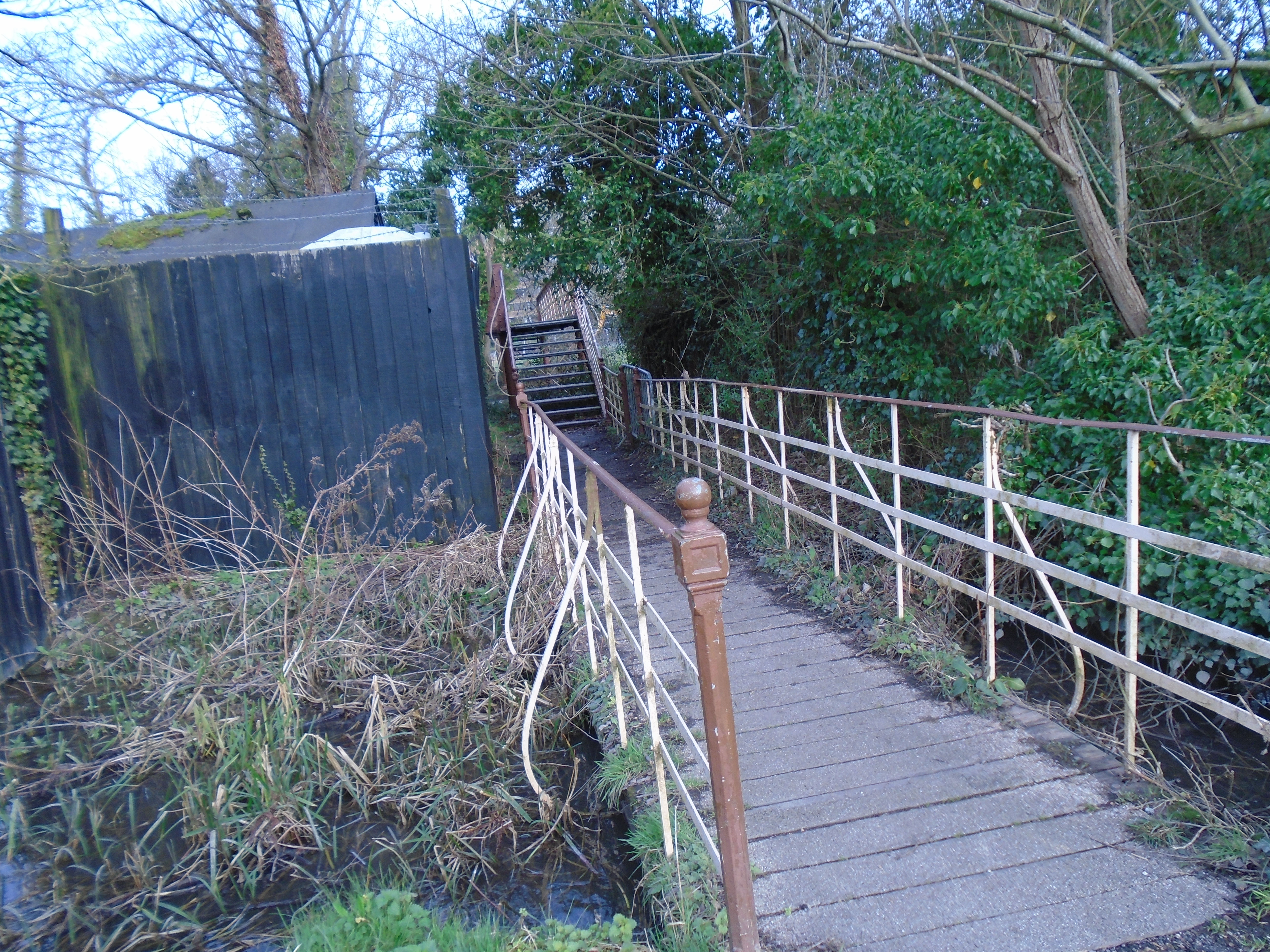
At the end of the island, take the path to the left to get to Newnham Mill.
The building of this mill still exists, although it is now a restaurant. You can see the mill race coming out under the building. A notice gives the history of the building (click for a larger version). This building is early 19c. The mill stopped working 1910. It is listed grade II.
The stream feeding the mill is Snobs Stream. By the way, "snob" was the university term for someone from the town. It originally meant a shoemaker. Thackeray wrote the Book of Snobs, which gave it the modern meaning. Children from the town used to learn to swim in Snobs Stream before being allowed to swin in the Cam, as Snob's Stream was shallower.

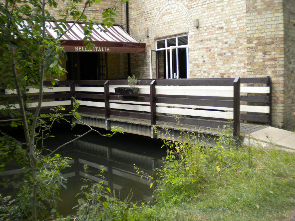
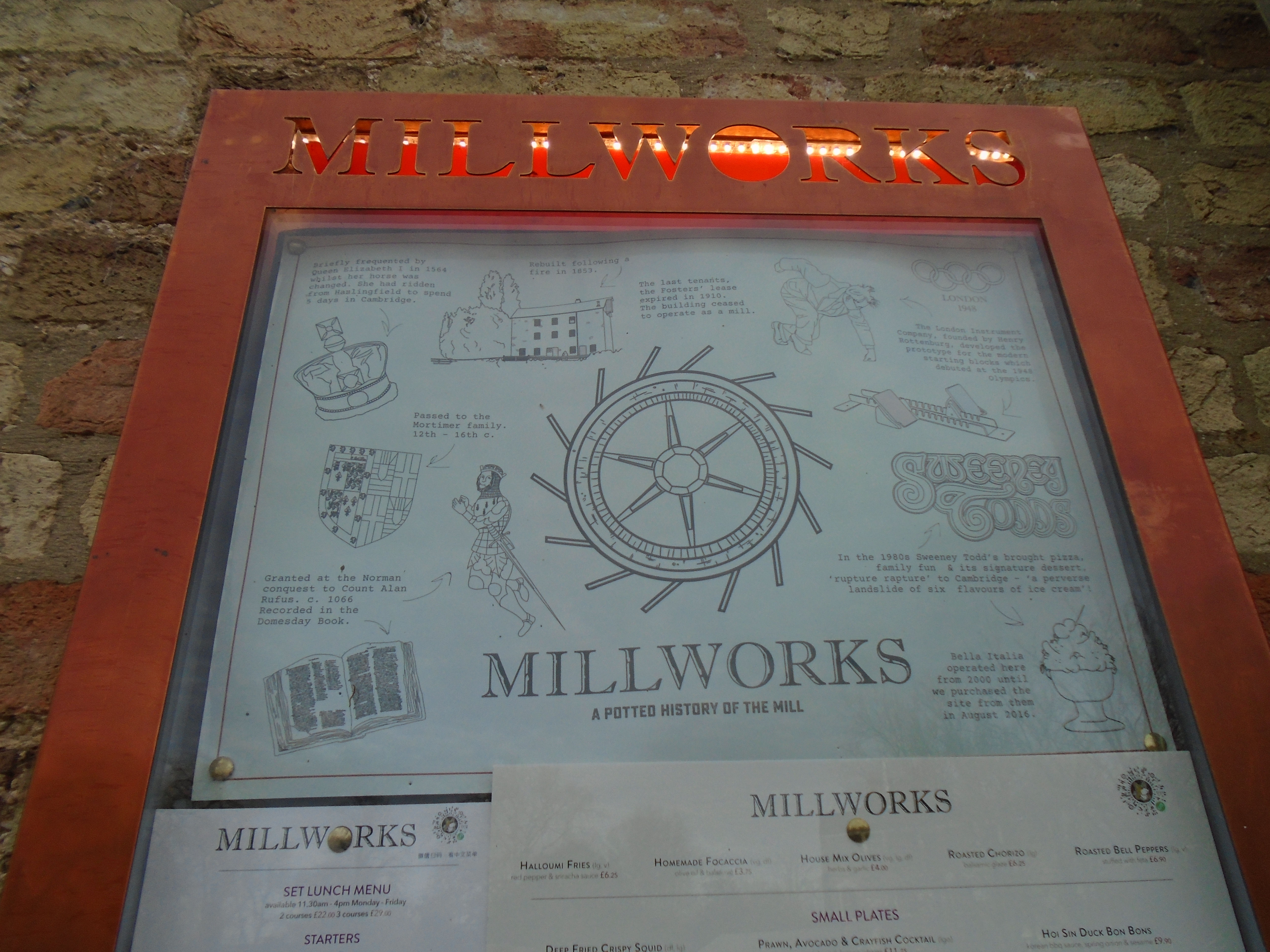
There were five mills described in the Domesday Book: "Picot himself [the Sheriff of Cambridge] has made 3 mills there which diminish the pasture and which have destroyed many houses. Also a mill of the Abbot of Ely, and another of Count Alan. The mills themselves pay £9 a year." Possibly the diminishing of pasure refers to making Sheeps Green into an island, by splitting the river channel to make mills on both channels. It must have made Sheeps Green liable to flooding.
This malt-house and attached kiln is late C18. It was converted to live in, early C20. It is listed grade II.
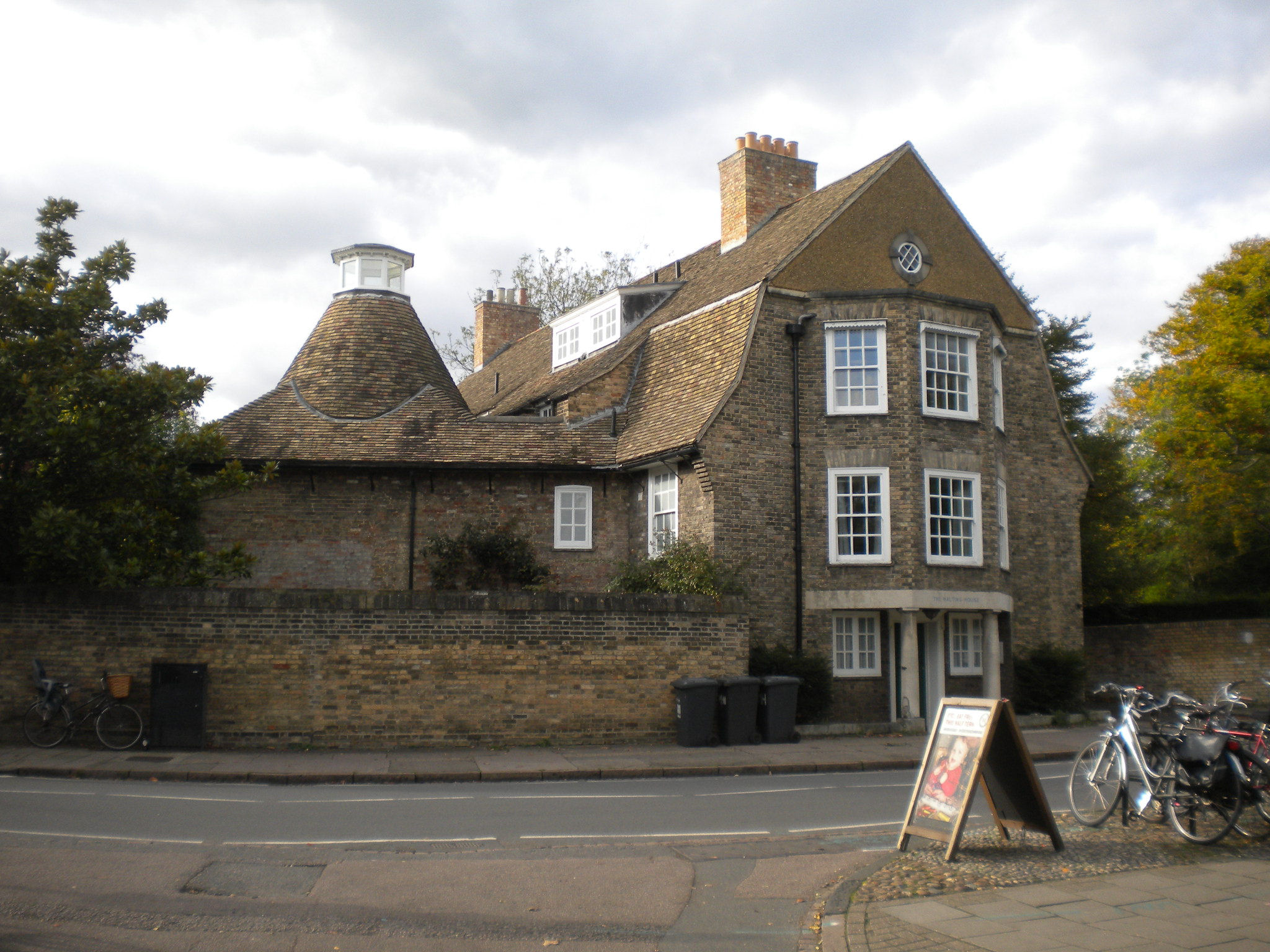
You can see from the river passing under Newnham Mill that Sheeps Green is, indeed, an island. Return to the river. There are bridges across channels that sometimes are dry, but this area can be boggy (or even under water!) so it's best to keep to the paths.

Once you are at the river again, there are the rollers off to your left. These can be used to get a punt up from the water on your left to the upper river, on your right. I used this as a student on a college punt. It's hard work. (The commercial punts do not allow you to use the rollers. You have to use the punts above or below the weir, depending which part of the river you want to travel along.)
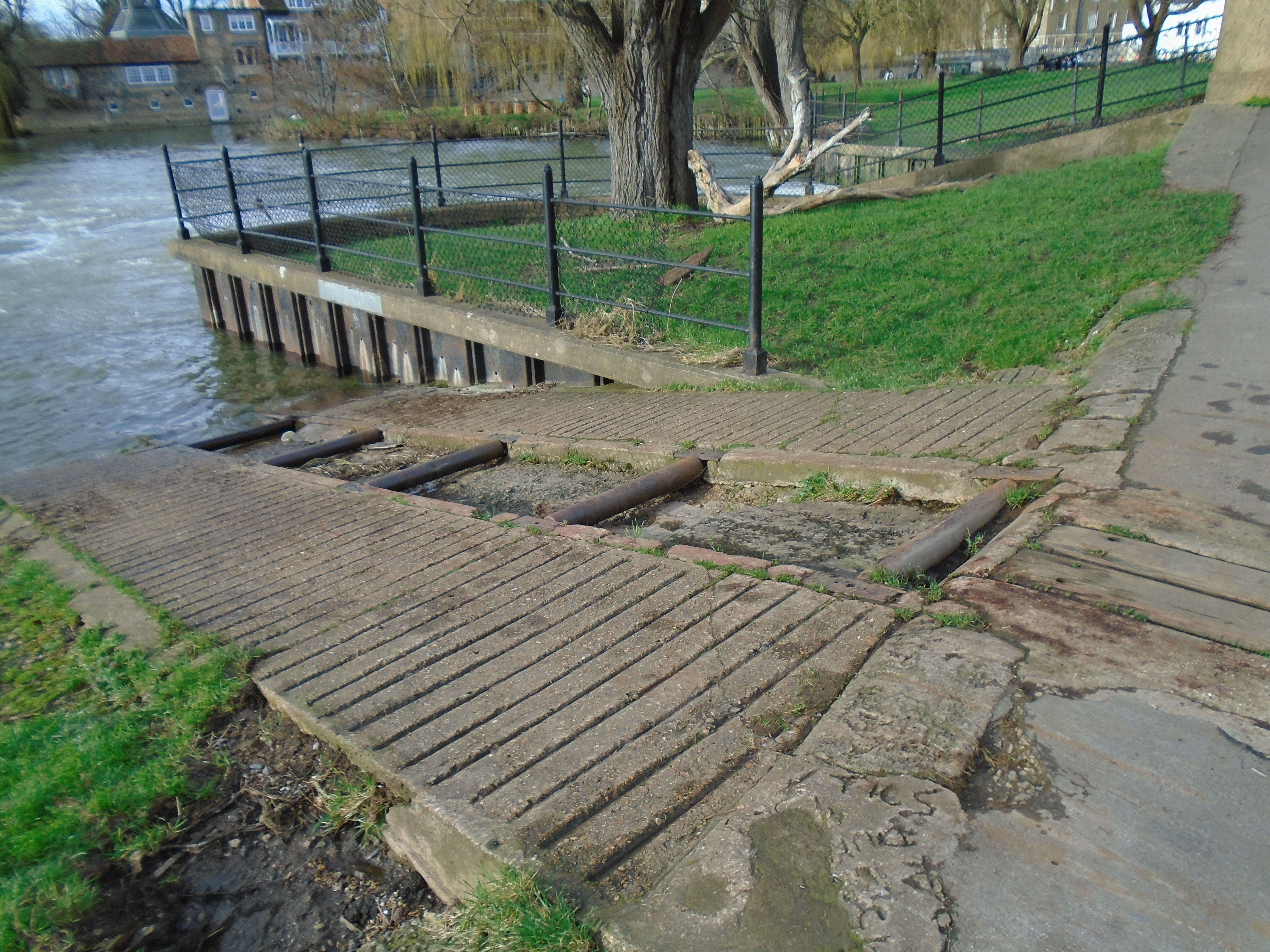
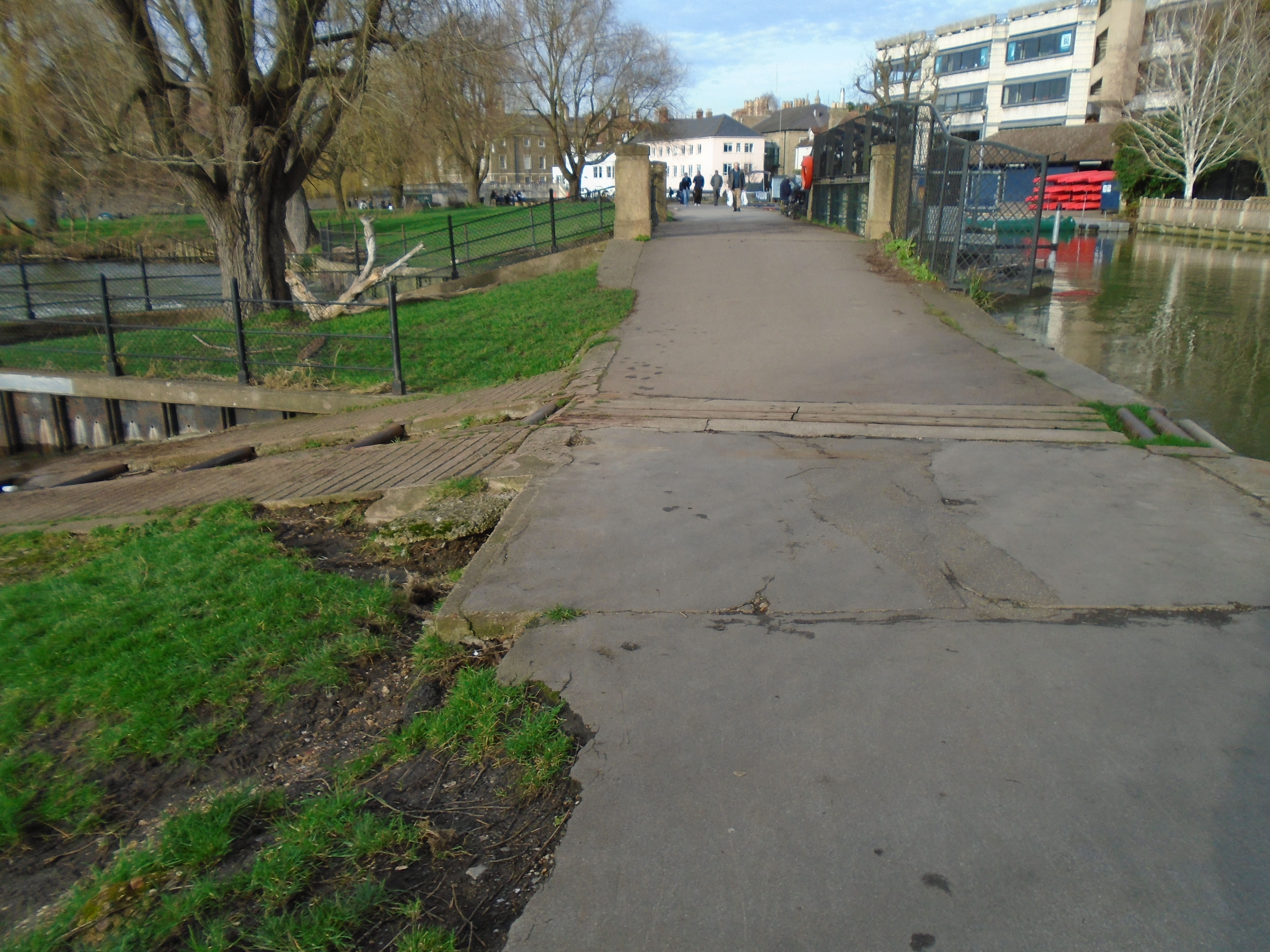
We cross another weir, which means that we leave Sheeps Green to yet another island, Laundress Green. This was the area that we saw from Silver Street bridge at the start of the walk. The laundresses who walked down Laundress Lane used this area to do the laundry.
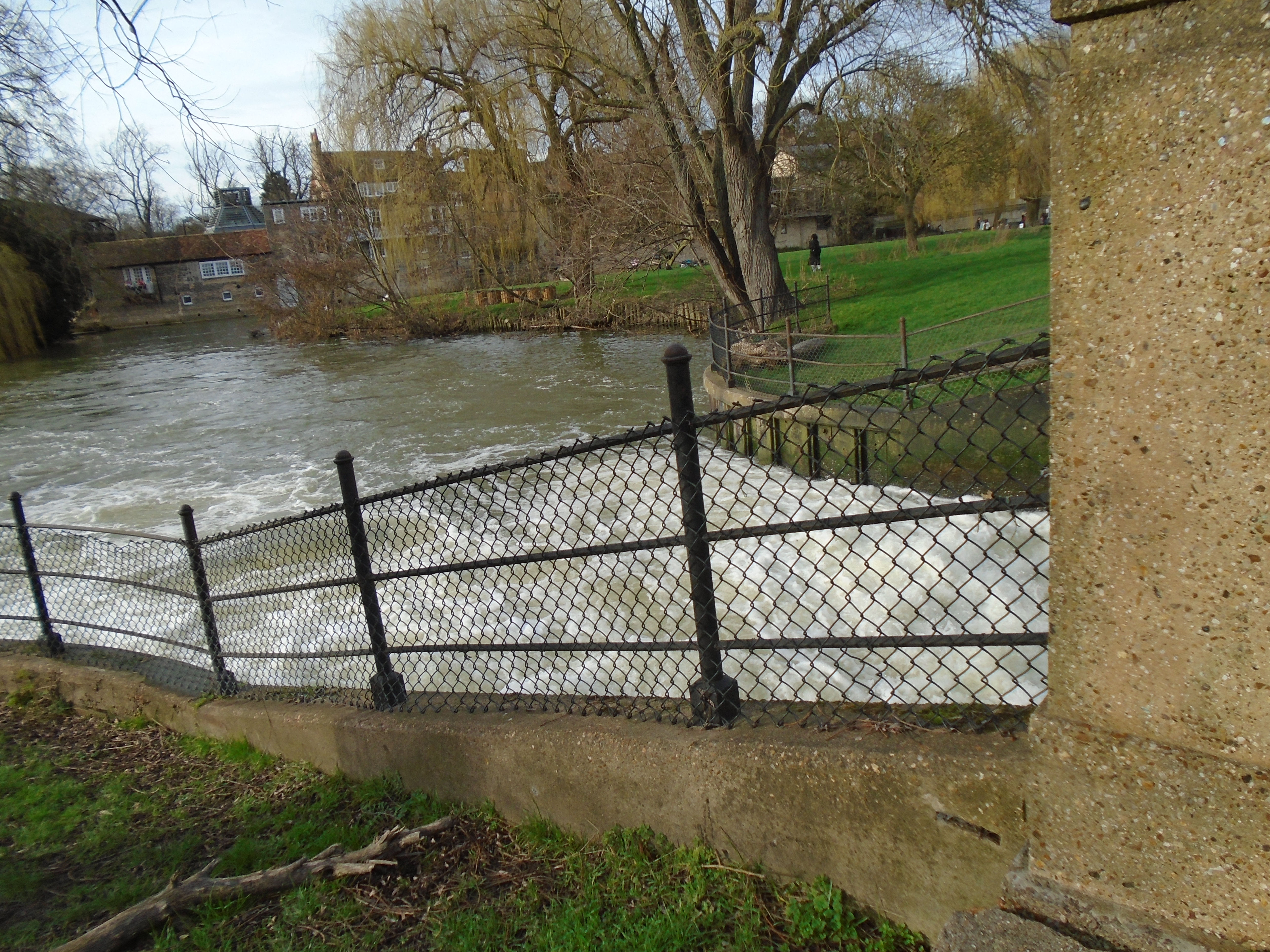

We now approach yet another weir, all that's left of two more mills, called the Kings Mill and the Bishops Mill. They are likely to be among the five mills described in the Domesday Book. They were demolished in 20C. The photograph below is dated 1924.
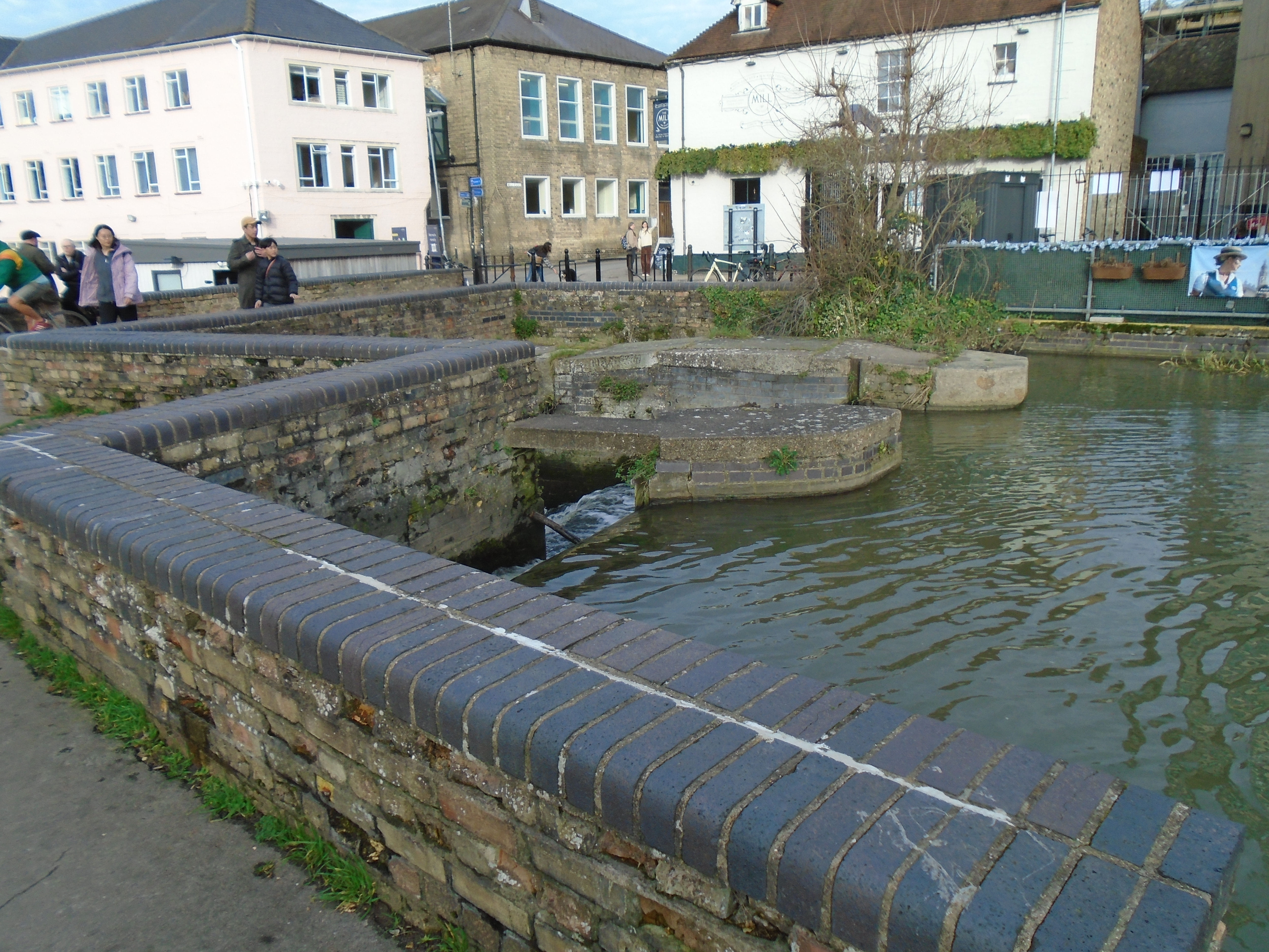

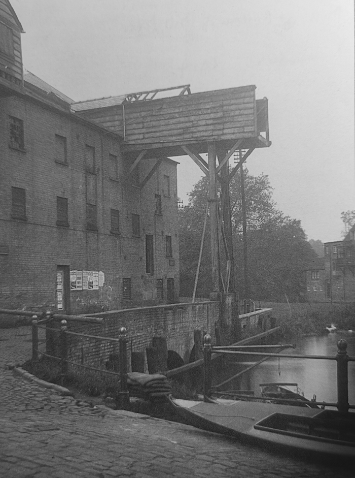
There are two millstones set into the paving, either side of the weir. The remains of the mills, and the mill stones, are listed grade II.


Cross the weir. You can return up Laundress Lane to get back to Silver Street bridge, or go up Mill Lane to return to the city centre.
For other interesting things in Cambridge, try my Walks round Cambridge website, which covers other subjects as well.
I have indexed all the walks that I have done for the U3AC (including this one) here.
© Jo Edkins 2024 - Return to Walks index